Transport Functions
Rail
Road
Hub Profile
Place type
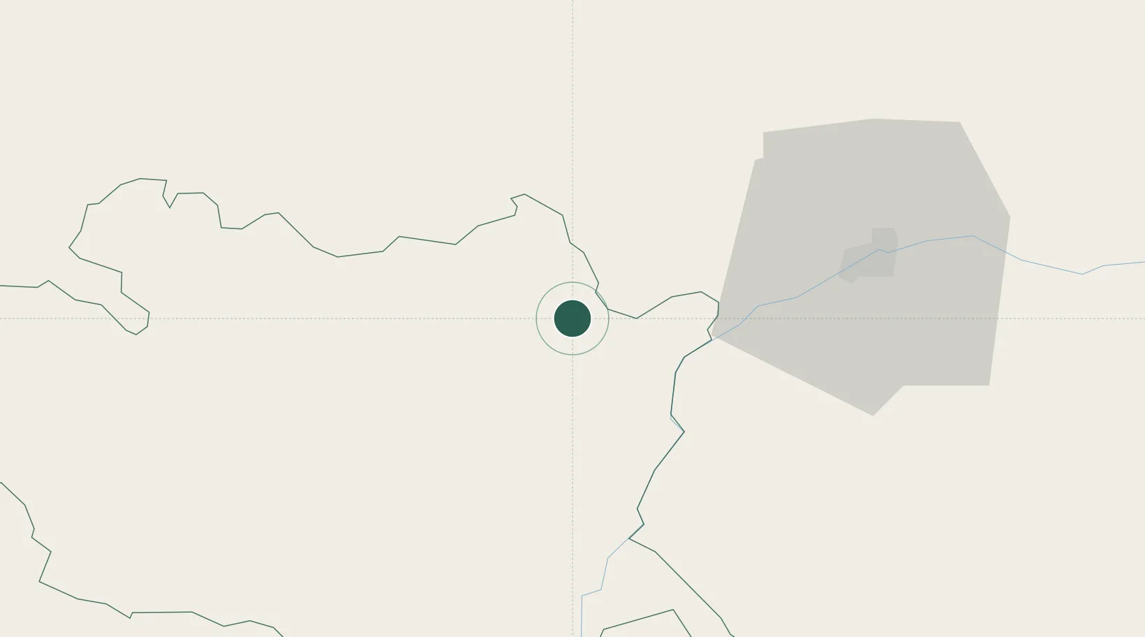
Provincial seat
Region
Évora
Population
4,586
Time zone
Europe/Lisbon
Elevation
403 m
Location
Nearby Logistics Neighbours
Cities
- 1Vila Viçosa3 km
- 2Estremoz13 km
- 3Juromenha20 km
- 4Souzel25 km
- 5Elvas26 km
Ports
- 1Setubal130 km
- 2Lisboa149 km
- 3Sines156 km
- 4Huelva178 km
- 5Vila Real De S Antonio180 km
Airports
- 1Estremoz Municipal Heliport14 km
- 2Évora Airfield48 km
- 3Badajoz Airport55 km
- 4Aeródromo Municipal de Ponte de Sor70 km
- 5Beja Airport / Airbase91 km
Trade Zones
- 1Puerto de Huelva177 km
- 2Zona Franca de Sevilla207 km
- 3VGP Park Santa Maria da Feira255 km
- 4Zona Franca de Cádiz276 km
- 5Zona Livre Tecnológica Masotinhos284 km
DatabookThe Record of Consolidated Knowledge
Portugal beyond logistics?