Transport Functions
Rail
Road
Hub Profile
Place type
Provincial seat
Region
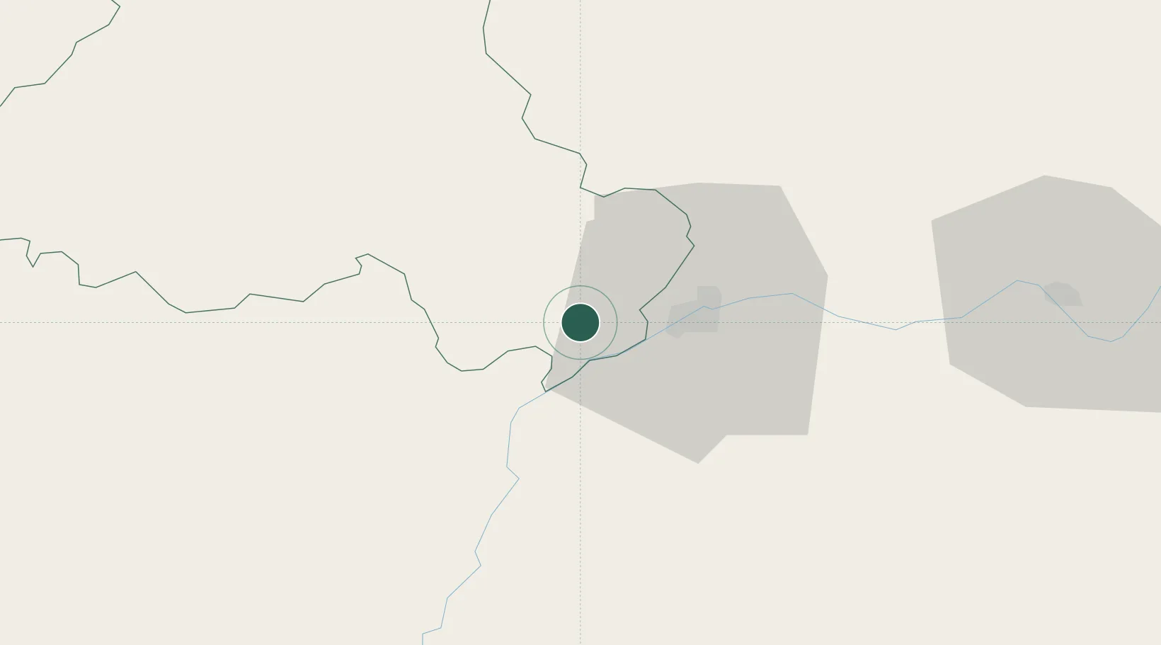
Portalegre
Population
9,904
Time zone
Europe/Lisbon
Elevation
326 m
Location
Nearby Logistics Neighbours
Cities
- 1Badajoz14 km
- 2Juromenha18 km
- 3Vila Viçosa24 km
- 4Borba26 km
- 5La Albuera36 km
Ports
- 1Setubal156 km
- 2Lisboa175 km
- 3Sines181 km
- 4Huelva183 km
- 5Vila Real De S Antonio190 km
Airports
- 1Badajoz Airport30 km
- 2Estremoz Municipal Heliport39 km
- 3Évora Airfield74 km
- 4Aeródromo Municipal de Ponte de Sor85 km
- 5Aerodromo de Castelo Branco109 km
Trade Zones
- 1Puerto de Huelva182 km
- 2Zona Franca de Sevilla200 km
- 3VGP Park Santa Maria da Feira257 km
- 4Zona Franca de Cádiz277 km
- 5Zona Livre Tecnológica Masotinhos286 km
DatabookThe Record of Consolidated Knowledge
Portugal beyond logistics?