Transport Functions
Multimodal
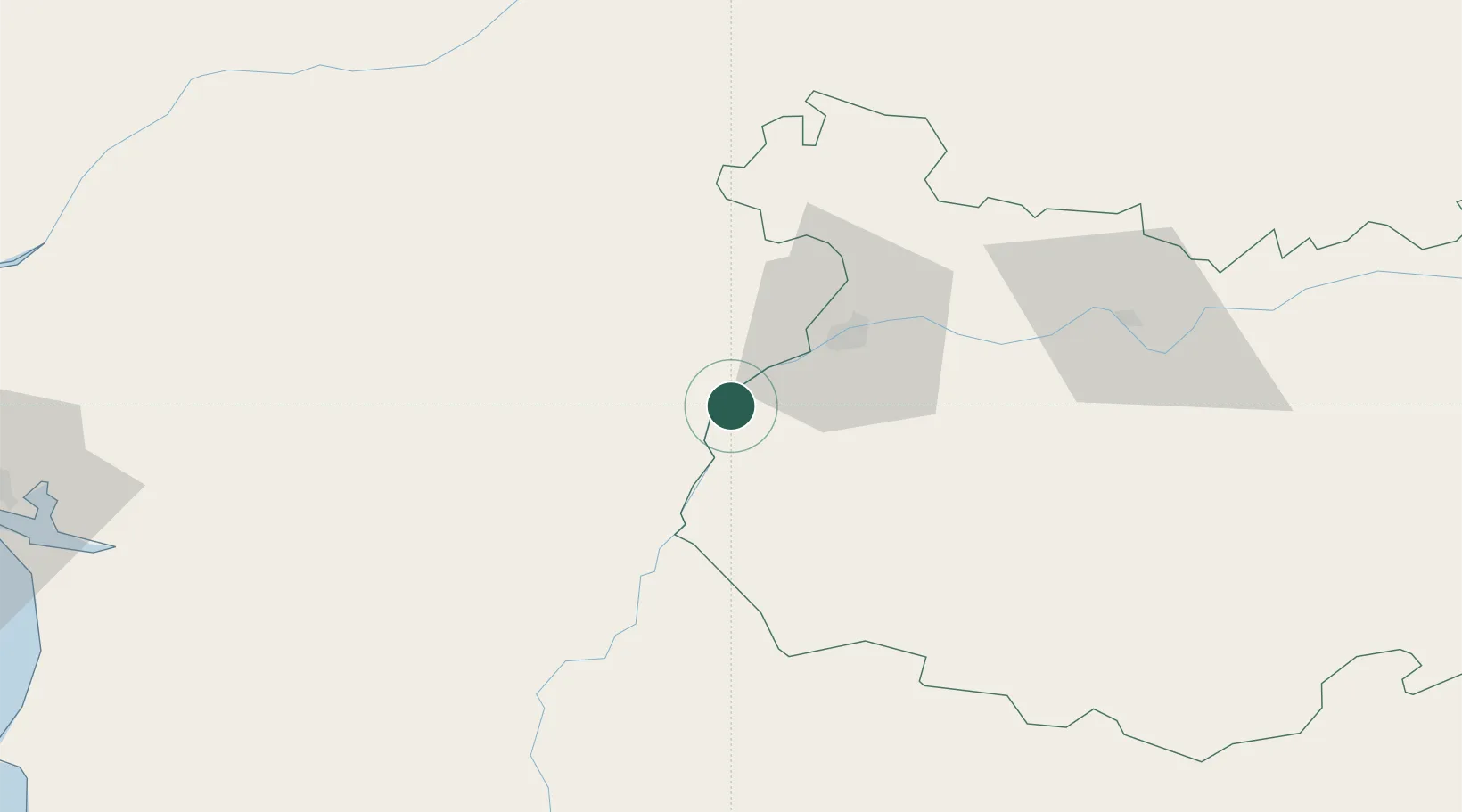
Hub Profile
Place type
Populated place
Region
Évora
Population
107
Time zone
Europe/Lisbon
Elevation
202 m
Location
Nearby Logistics Neighbours
Cities
- 1Vila Viçosa17 km
- 2Elvas18 km
- 3Borba20 km
- 4Badajoz28 km
- 5Estremoz33 km
Ports
- 1Setubal147 km
- 2Huelva167 km
- 3Sines167 km
- 4Lisboa168 km
- 5Vila Real De S Antonio173 km
Airports
- 1Estremoz Municipal Heliport34 km
- 2Badajoz Airport40 km
- 3Évora Airfield61 km
- 4Aeródromo Municipal de Ponte de Sor89 km
- 5Beja Airport / Airbase95 km
Trade Zones
- 1Puerto de Huelva166 km
- 2Zona Franca de Sevilla189 km
- 3Zona Franca de Cádiz262 km
- 4VGP Park Santa Maria da Feira270 km
- 5Zona Livre Tecnológica Masotinhos298 km
DatabookThe Record of Consolidated Knowledge
Portugal beyond logistics?