Transport Functions
Rail
Road
Hub Profile
Place type
Provincial seat
Region
Évora
Population
9,350
Time zone
Europe/Lisbon
Elevation
417 m
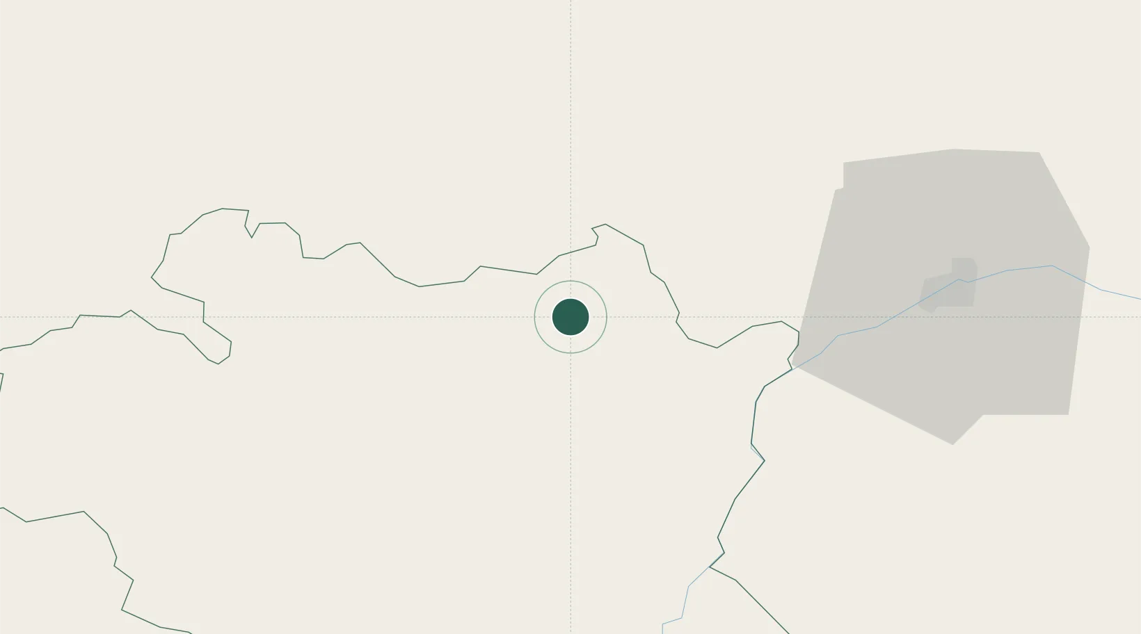
Location
Nearby Logistics Neighbours
Cities
- 1Borba13 km
- 2Souzel13 km
- 3Vila Viçosa16 km
- 4Fronteira23 km
- 5Azaruja24 km
Ports
- 1Setubal120 km
- 2Lisboa138 km
- 3Sines150 km
- 4Figueira Da Foz181 km
- 5Vila Real De S Antonio186 km
Airports
- 1Estremoz Municipal Heliport4 km
- 2Évora Airfield44 km
- 3Aeródromo Municipal de Ponte de Sor57 km
- 4Badajoz Airport66 km
- 5Beja Airport / Airbase91 km
Trade Zones
- 1Puerto de Huelva185 km
- 2Zona Franca de Sevilla218 km
- 3VGP Park Santa Maria da Feira246 km
- 4Zona Livre Tecnológica Masotinhos275 km
- 5Zona Franca de Cádiz286 km
DatabookThe Record of Consolidated Knowledge
Portugal beyond logistics?