Transport Functions
Rail
Road
Hub Profile
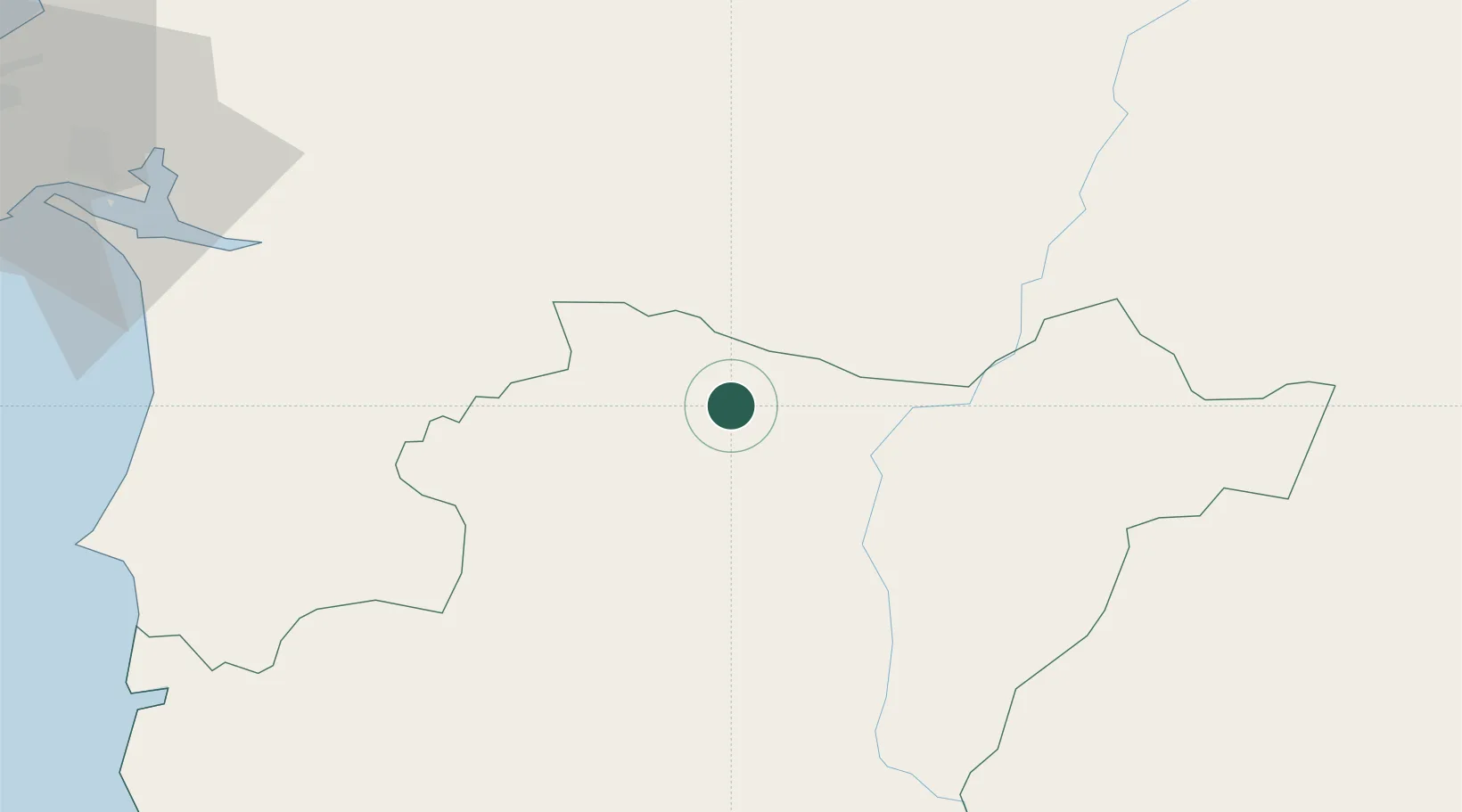
Place type
Provincial seat
Region
Beja
Population
4,878
Time zone
Europe/Lisbon
Elevation
180 m
Location
Nearby Logistics Neighbours
Cities
- 1Vila de Frades8 km
- 2Alvito13 km
- 3Beja17 km
- 4Viana do Alentejo21 km
- 5Pedrógão21 km
Ports
- 1Sines89 km
- 2Setubal97 km
- 3Vila Real De S Antonio117 km
- 4Faro126 km
- 5Lisboa127 km
Airports
- 1Beja Airport / Airbase11 km
- 2Évora Airfield41 km
- 3Estremoz Municipal Heliport77 km
- 4Montijo Air Base117 km
- 5Aeródromo Municipal de Ponte de Sor117 km
Trade Zones
- 1Puerto de Huelva130 km
- 2Zona Franca de Sevilla190 km
- 3Zona Franca de Cádiz234 km
- 4VGP Park Santa Maria da Feira313 km
- 5Depósito Franco de Algeciras314 km
DatabookThe Record of Consolidated Knowledge
Portugal beyond logistics?