Transport Functions
Rail
Road
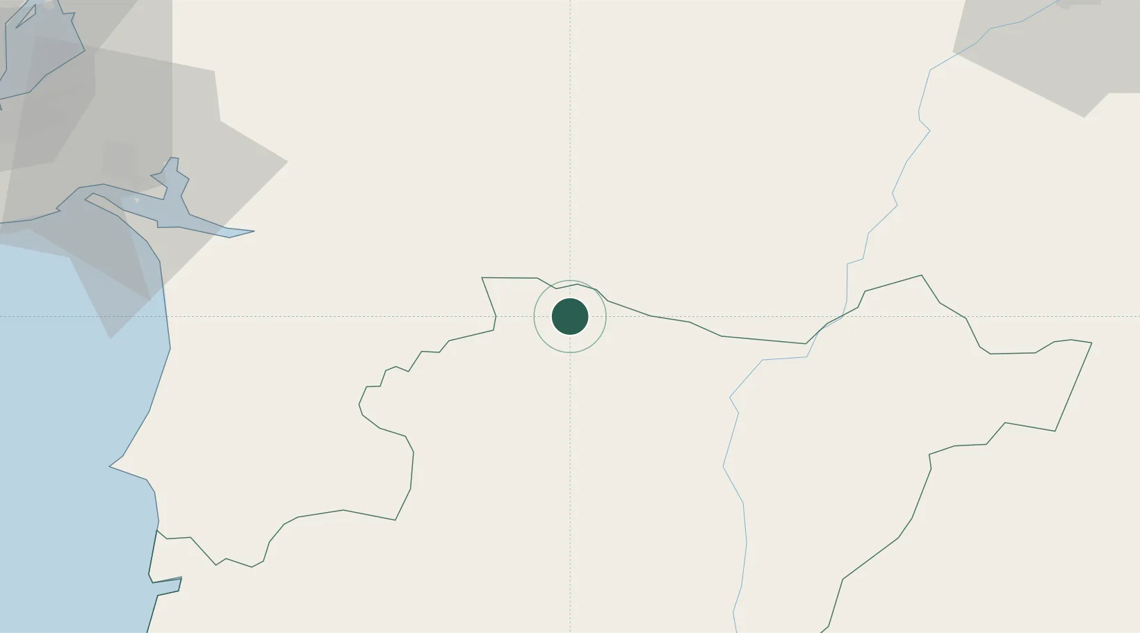
Hub Profile
Place type
Provincial seat
Region
Beja
Population
2,504
Time zone
Europe/Lisbon
Elevation
235 m
Location
Nearby Logistics Neighbours
Cities
- 1Viana do Alentejo9 km
- 2Cuba13 km
- 3Vila de Frades15 km
- 4Beja28 km
- 5Casa Branca32 km
Ports
- 1Sines84 km
- 2Setubal85 km
- 3Lisboa115 km
- 4Vila Real De S Antonio129 km
- 5Faro135 km
Airports
- 1Beja Airport / Airbase20 km
- 2Évora Airfield33 km
- 3Estremoz Municipal Heliport72 km
- 4Montijo Air Base105 km
- 5Aeródromo Municipal de Ponte de Sor107 km
Trade Zones
- 1Puerto de Huelva142 km
- 2Zona Franca de Sevilla202 km
- 3Zona Franca de Cádiz247 km
- 4VGP Park Santa Maria da Feira302 km
- 5Depósito Franco de Algeciras327 km
DatabookThe Record of Consolidated Knowledge
Portugal beyond logistics?