Transport Functions
Rail
Road
Hub Profile
Place type
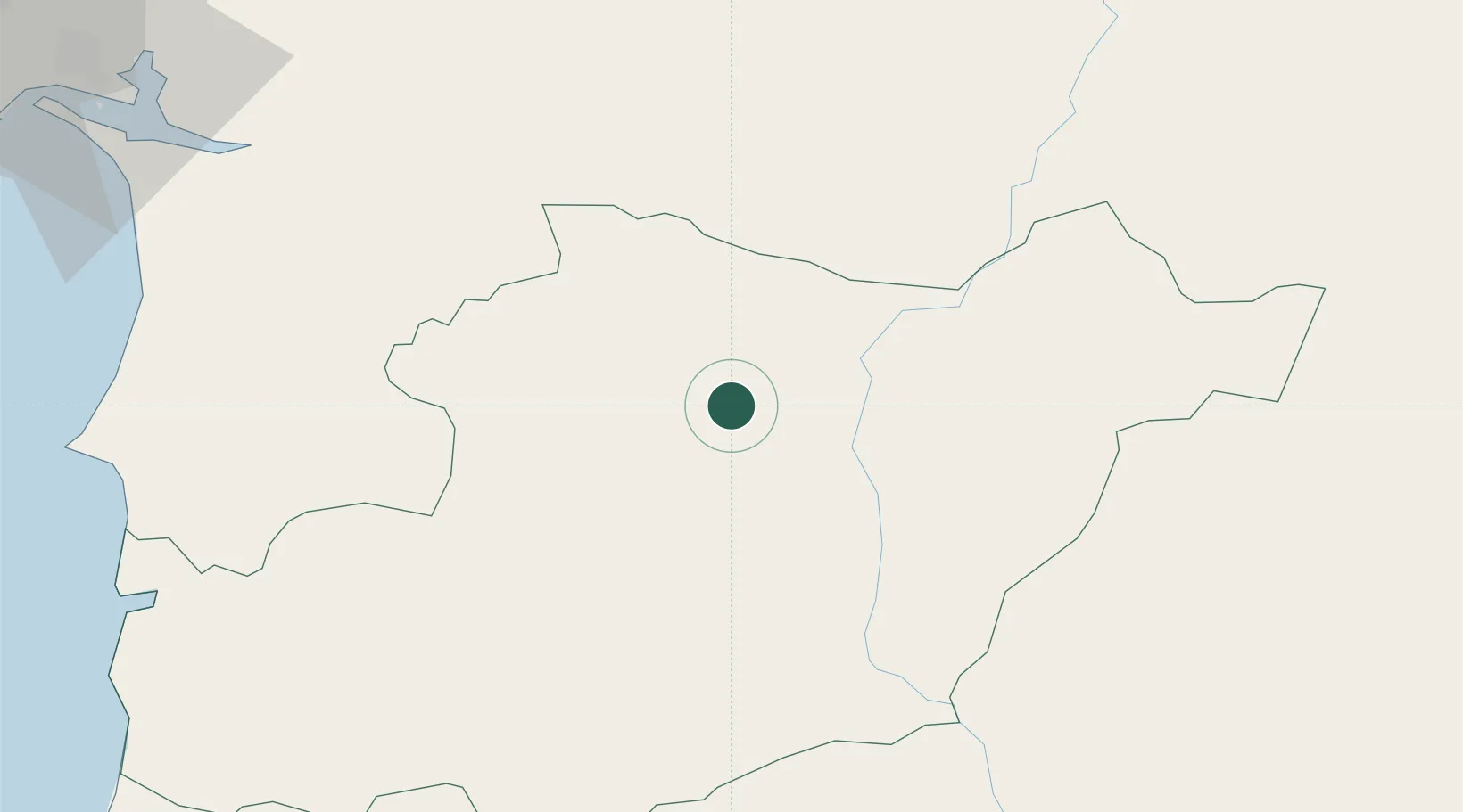
Regional capital
Region
Beja
Population
34,760
Time zone
Europe/Lisbon
Elevation
286 m
Location
Nearby Logistics Neighbours
Cities
- 1Cuba17 km
- 2Pedrógão22 km
- 3Vila de Frades23 km
- 4Alvito28 km
- 5Aljustrel31 km
Ports
- 1Sines88 km
- 2Vila Real De S Antonio101 km
- 3Setubal106 km
- 4Faro110 km
- 5Huelva117 km
Airports
- 1Beja Airport / Airbase9 km
- 2Évora Airfield58 km
- 3Estremoz Municipal Heliport93 km
- 4Faro - Gago Coutinho International Airport112 km
- 5Portimão Airport115 km
Trade Zones
- 1Puerto de Huelva116 km
- 2Zona Franca de Sevilla181 km
- 3Zona Franca de Cádiz220 km
- 4Depósito Franco de Algeciras301 km
- 5Tanger Free Export Zone309 km
DatabookThe Record of Consolidated Knowledge
Portugal beyond logistics?