Transport Functions
Rail
Road
Hub Profile
Place type
Provincial seat
Region
Évora
Time zone
Europe/Lisbon
Elevation
249 m
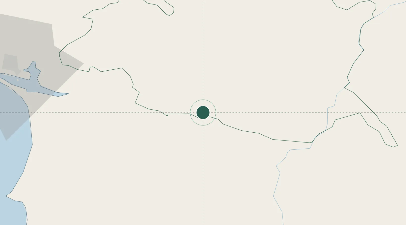
Location
Nearby Logistics Neighbours
Cities
- 1Alvito9 km
- 2Vila de Frades21 km
- 3Cuba21 km
- 4Casa Branca24 km
- 5Évora27 km
Ports
- 1Setubal81 km
- 2Sines87 km
- 3Lisboa109 km
- 4Vila Real De S Antonio138 km
- 5Faro145 km
Airports
- 1Évora Airfield24 km
- 2Beja Airport / Airbase29 km
- 3Estremoz Municipal Heliport64 km
- 4Aeródromo Municipal de Ponte de Sor98 km
- 5Montijo Air Base99 km
Trade Zones
- 1Puerto de Huelva150 km
- 2Zona Franca de Sevilla208 km
- 3Zona Franca de Cádiz255 km
- 4VGP Park Santa Maria da Feira293 km
- 5Zona Livre Tecnológica Masotinhos321 km
DatabookThe Record of Consolidated Knowledge
Portugal beyond logistics?