Transport Functions
Rail
Road
Hub Profile
Place type
Regional capital
Region
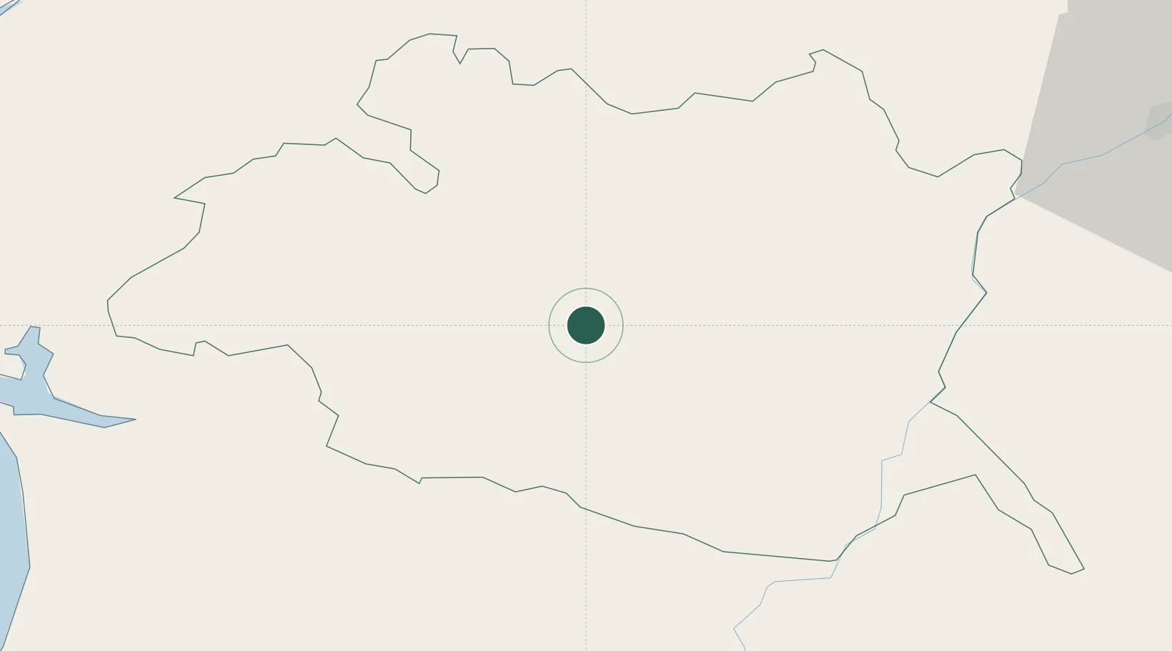
Évora
Population
53,591
Time zone
Europe/Lisbon
Elevation
242 m
Location
Nearby Logistics Neighbours
Cities
- 1Igrejinha15 km
- 2Azaruja18 km
- 3Arraiolos18 km
- 4Casa Branca24 km
- 5Vendinha25 km
Ports
- 1Setubal87 km
- 2Sines109 km
- 3Lisboa111 km
- 4Vila Real De S Antonio160 km
- 5Huelva169 km
Airports
- 1Évora Airfield4 km
- 2Estremoz Municipal Heliport38 km
- 3Beja Airport / Airbase54 km
- 4Aeródromo Municipal de Ponte de Sor73 km
- 5Montijo Air Base100 km
Trade Zones
- 1Puerto de Huelva167 km
- 2Zona Franca de Sevilla216 km
- 3VGP Park Santa Maria da Feira269 km
- 4Zona Franca de Cádiz271 km
- 5Zona Livre Tecnológica Masotinhos298 km
DatabookThe Record of Consolidated Knowledge
Portugal beyond logistics?