Transport Functions
Rail
Road
Hub Profile
Place type
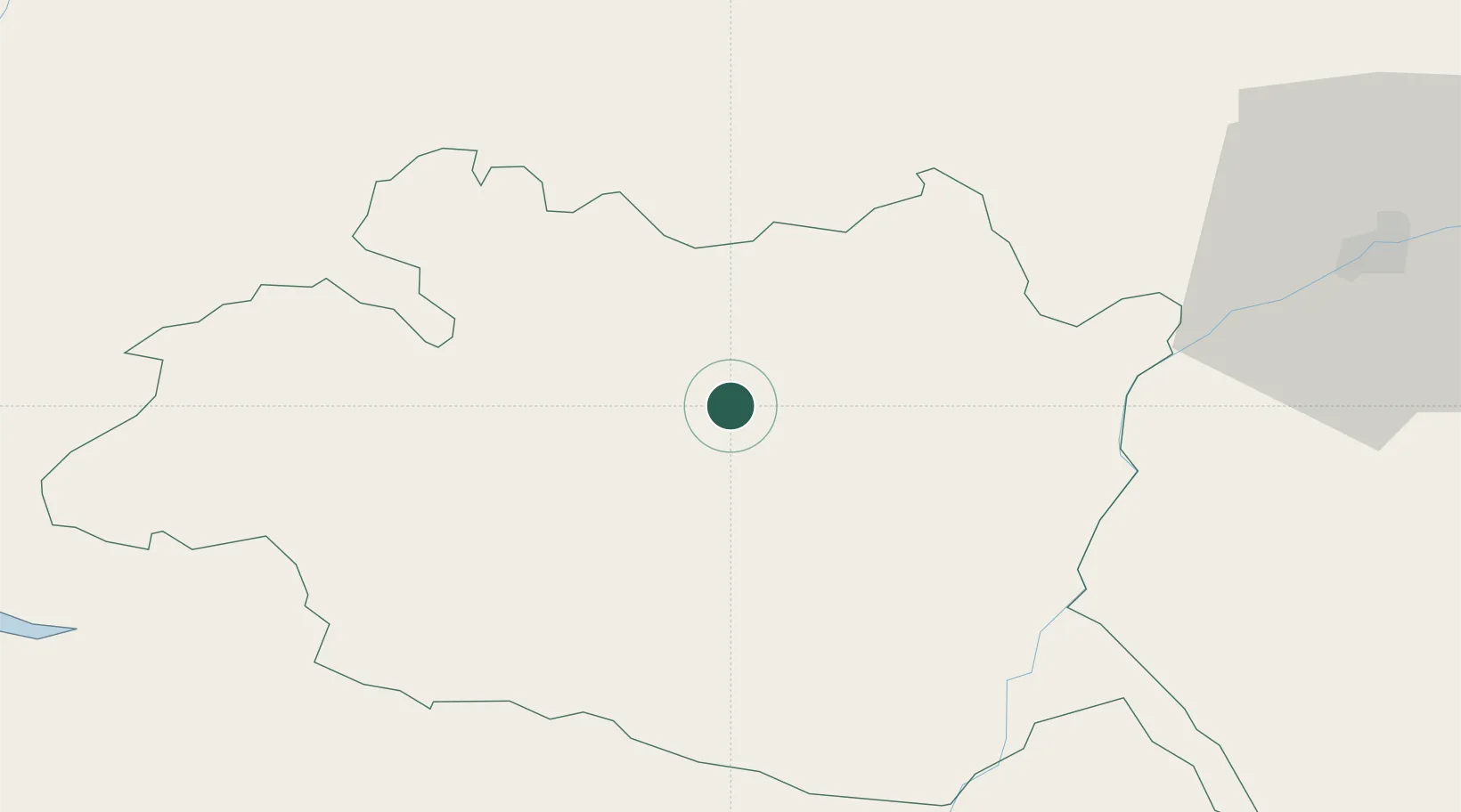
Populated place
Region
Évora
Time zone
Europe/Lisbon
Elevation
278 m
Location
Nearby Logistics Neighbours
Ports
- 1Setubal99 km
- 2Lisboa120 km
- 3Sines126 km
- 4Vila Real De S Antonio172 km
- 5Huelva177 km
Airports
- 1Estremoz Municipal Heliport20 km
- 2Évora Airfield21 km
- 3Aeródromo Municipal de Ponte de Sor62 km
- 4Beja Airport / Airbase70 km
- 5Badajoz Airport86 km
Trade Zones
- 1Puerto de Huelva176 km
- 2Zona Franca de Sevilla218 km
- 3VGP Park Santa Maria da Feira257 km
- 4Zona Franca de Cádiz279 km
- 5Zona Livre Tecnológica Masotinhos286 km
DatabookThe Record of Consolidated Knowledge
Portugal beyond logistics?