Heliport · Spain

Madroñalejos Forest Fire fighting HeliportES-0353
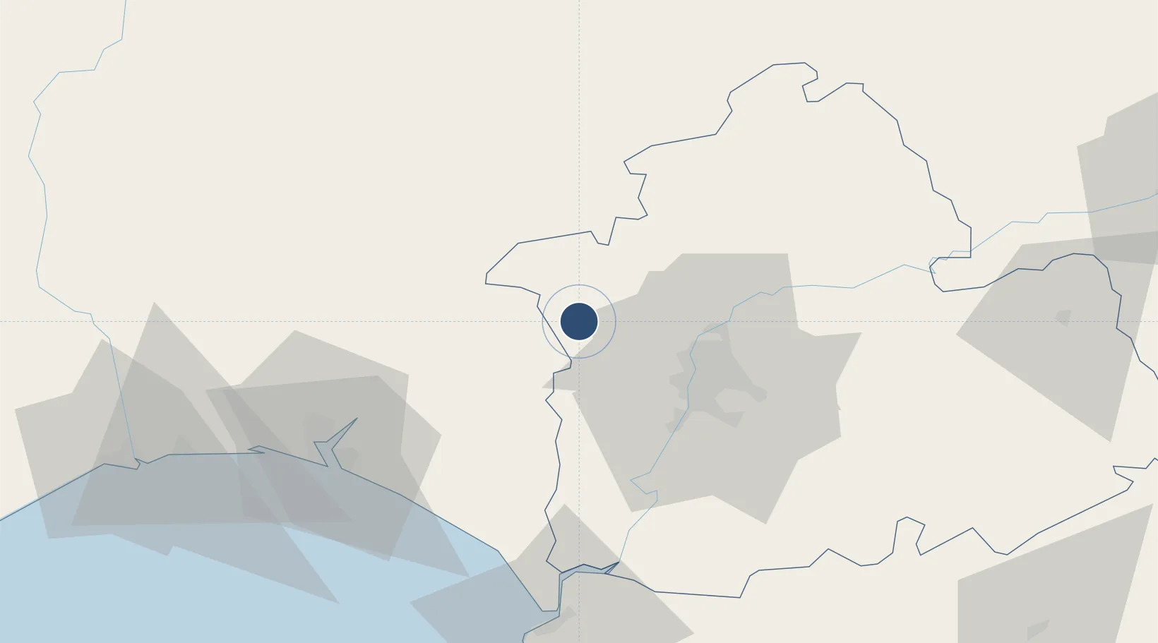
37.5370°, -6.2958°
408 ft
Elevation

Runway & Layout

Madroñalejos Forest Fire fighting Heliport runway & taxiway layout
Runway & taxiway layout — OpenStreetMap (ODbL) / OurAirports

Airport Specifications

Airport class
Heliport
OurAirports
Scheduled service
Yes
OurAirports
Served city
Aznalcóllar
OurAirports

Location

Location of ES-0353
Natural Earth 10m (public domain) · Sevilla · ES-0353 · 37.54, -6.30GoogleOSMYandex

Nearby Logistics Neighbours

Airports
  1. 1Seville Airport38 km
  2. 2Moron Air Base72 km
  3. 3Jerez Airport91 km
  4. 4Tomás Fernández Espada Airfield94 km
  5. 5Rota Naval Station Airport99 km
Nearest neighbours — logibook spatial index (haversine) over the source coordinates
Cities
  1. 1Aznalcollar3 km
  2. 2Valencina de la Concepcion24 km
  3. 3Nerva28 km
  4. 4Alcala del Rio29 km
  5. 5Burguillos30 km
Nearest neighbours — logibook spatial index (haversine) over the source coordinates
Ports
  1. 1Sevilla32 km
  2. 2Huelva66 km
  3. 3Rota102 km
  4. 4Vila Real De S Antonio105 km
  5. 5Cadiz112 km
Nearest neighbours — logibook spatial index (haversine) over the source coordinates
Trade Zones
  1. 1Zona Franca de Sevilla34 km
  2. 2Puerto de Huelva66 km
  3. 3Zona Franca de Cádiz115 km
  4. 4Depósito Franco de Málaga166 km
  5. 5Depósito Franco de Algeciras175 km
Nearest neighbours — logibook spatial index (haversine) over the source coordinates
DatabookThe Record of Consolidated Knowledge
Spain beyond logistics?
Browse databook

All Sources

AirportsOurAirports
Public domain
Portsthe NGA World Port Index
Public domain (US gov)
LocationsUN/LOCODE
UN/LOCODE — free
Trade Zonesthe World Bank SEZ database
CC BY 4.0
Trade ZonesOpen Zone Map
CC BY
InfrastructureOpenStreetMap
ODbL 1.0
← Spain airports