Transport Functions
Port
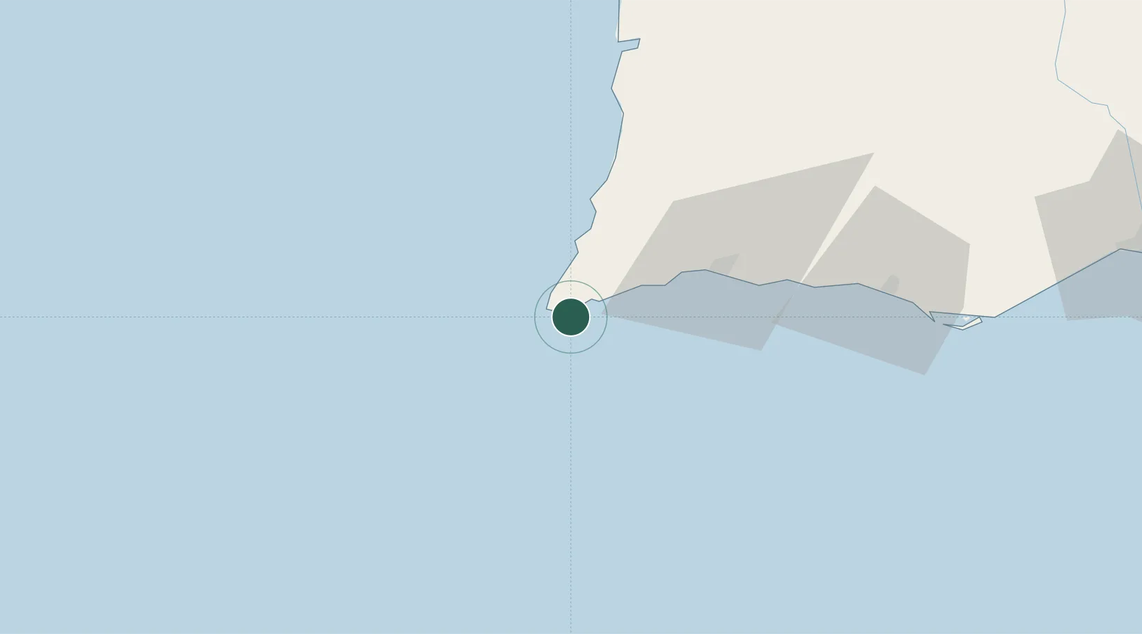
Hub Profile
Place type
Populated place
Region
Faro
Population
1,939
Time zone
Europe/Lisbon
Elevation
31 m
Location
Nearby Logistics Neighbours
Ports
- 1Lagos30 km
- 2Faro89 km
- 3Sines106 km
- 4Vila Real De S Antonio138 km
- 5Setubal169 km
Airports
- 1Portimão Airport35 km
- 2Faro - Gago Coutinho International Airport86 km
- 3Beja Airport / Airbase149 km
- 4Montijo Air Base190 km
- 5Évora Airfield194 km
Trade Zones
- 1Puerto de Huelva177 km
- 2Zona Franca de Cádiz244 km
- 3Zona Franca de Sevilla263 km
- 4Tanger Free Export Zone306 km
- 5Tanger Automotive City325 km
DatabookThe Record of Consolidated Knowledge
Portugal beyond logistics?