UN/LOCODE hub · Spain
ESBJZ

Badajoz

38.9066°, -7.0067°
150,530
Population
3
Transport functions

Transport Functions

Rail
Road
Airport
UN/LOCODE

Hub Profile

Place type
District seat
GeoNames
Region
Extremadura
GeoNames
Population
150,530
GeoNames
Time zone
Europe/Madrid
GeoNames
Elevation
192 m
GeoNames
Logistics facilities
1
UN/LOCODE

Location

Location of ESBJZ
Natural Earth 10m (public domain) · Extremadura · ESBJZ · 38.91, -7.01GoogleOSMYandex

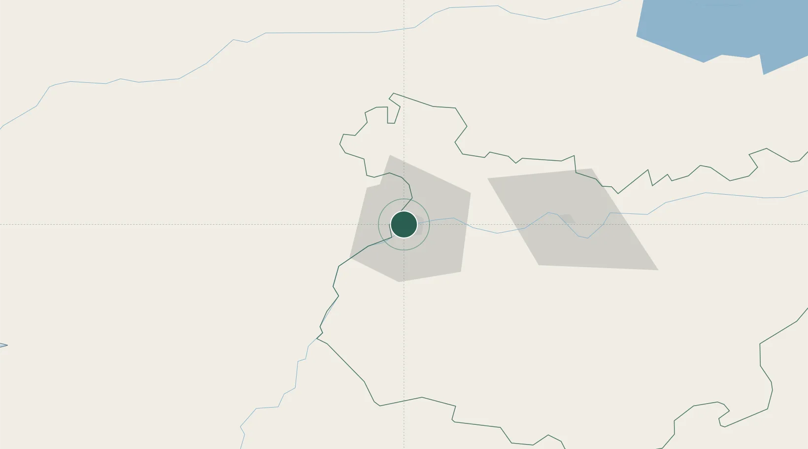
Nearby Logistics Neighbours

Cities
  1. 1Elvas14 km
  2. 2Pueblonuevo22 km
  3. 3La Albuera27 km
  4. 4Juromenha28 km
  5. 5Lobon34 km
Nearest neighbours — logibook spatial index (haversine) over the source coordinates
Ports
  1. 1Setubal170 km
  2. 2Huelva184 km
  3. 3Lisboa189 km
  4. 4Sevilla193 km
  5. 5Sines194 km
Nearest neighbours — logibook spatial index (haversine) over the source coordinates
Airports
  1. 1Badajoz Airport16 km
  2. 2Estremoz Municipal Heliport53 km
  3. 3Évora Airfield87 km
  4. 4Aeródromo Municipal de Ponte de Sor97 km
  5. 5Aerodromo de Castelo Branco111 km
Nearest neighbours — logibook spatial index (haversine) over the source coordinates
Trade Zones
  1. 1Puerto de Huelva183 km
  2. 2Zona Franca de Sevilla196 km
  3. 3VGP Park Santa Maria da Feira262 km
  4. 4Zona Franca de Cádiz275 km
  5. 5Zona Livre Tecnológica Masotinhos290 km
Nearest neighbours — logibook spatial index (haversine) over the source coordinates
DatabookThe Record of Consolidated Knowledge
Spain beyond logistics?
Browse databook

All Sources

LocationsUN/LOCODE
UN/LOCODE — free
LocationsGeoNames
CC BY 4.0
Portsthe NGA World Port Index
Public domain (US gov)
AirportsOurAirports
Public domain
Trade Zonesthe World Bank SEZ database
CC BY 4.0
Trade ZonesOpen Zone Map
CC BY
← Spain locations