Transport Functions
Rail
Road
Hub Profile
Place type
Provincial seat
Region
Portalegre
Population
3,410
Time zone
Europe/Lisbon
Elevation
257 m
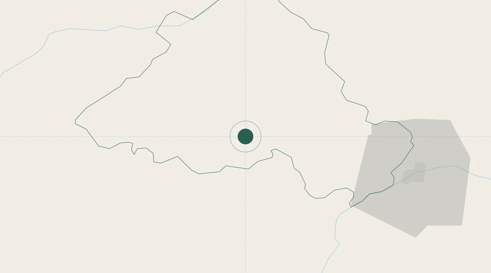
Location
Nearby Logistics Neighbours
Cities
- 1Cabeço de Vide11 km
- 2Souzel11 km
- 3Estremoz23 km
- 4Crato28 km
- 5Borba33 km
Ports
- 1Setubal124 km
- 2Lisboa137 km
- 3Figueira Da Foz160 km
- 4Sines162 km
- 5Aveiro197 km
Airports
- 1Estremoz Municipal Heliport25 km
- 2Aeródromo Municipal de Ponte de Sor40 km
- 3Évora Airfield61 km
- 4Badajoz Airport74 km
- 5Tancos Airbase78 km
Trade Zones
- 1Puerto de Huelva208 km
- 2VGP Park Santa Maria da Feira223 km
- 3Zona Franca de Sevilla239 km
- 4Zona Livre Tecnológica Masotinhos252 km
- 5Zona Franca de Cádiz308 km
DatabookThe Record of Consolidated Knowledge
Portugal beyond logistics?