Seaport · Portugal
Figueira Da FozPTFDF
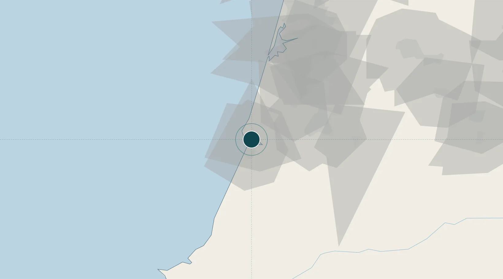
40.1500°, -8.8500°
6.4 m
Channel depth
1
Container terminals
10.2
Port liner connectivity
Channel & Berth Profile
Pilotage, Tugs & Services
Pilotage compulsoryYES
Pilotage availableYES
Local assistanceYES
Tug assistanceYES
Salvage tugsNO
Potable waterYES
Diesel bunkersYES
MedicalYES
Garbage disposalYES
Facilities & Capabilities
Container—
Ro-Ro—
Liquid bulk—
Dry bulk—
Oil terminal—
Break bulk—
Dry dockNO
RepairsNO
Bunkering—
Rail linkYES
Dangerous cargo—
ISPS security—
Harbour Specifications
Harbour size
Very Small
Harbour type
River (Natural)
Shelter
Good
Water body
North Atlantic Ocean
Tidal range
8 m
Pilotage
Yes
Liner Connectivity
10.2
PLSCI
Port Liner Shipping Connectivity Index for Figueira Da Foz, as published by UNCTAD for the latest available quarter. Higher values indicate stronger scheduled liner-shipping integration.
Shown relative to the highest per-port PLSCI in the dataset (1,657.9).
Location
Container Terminals · 1
FIGUEIRA DA FOZ TERMINAL
LISC YIPLORT HOLDING INC.
Nearby Logistics Neighbours
Ports
- 1Aveiro58 km
- 2Oporto112 km
- 3Porto De Leixoes116 km
- 4Lisboa164 km
- 5Viana Do Castelo172 km
Cities
- 1Leirosa13 km
- 2Montemor-o-Velho14 km
- 3Soure18 km
- 4Monte Redondo28 km
- 5Pelariga29 km
Airports
- 1Aerodromo Municipal de Coimbra32 km
- 2Monte Real Air Base36 km
- 3Tancos Airbase86 km
- 4Ovar Air Base87 km
- 5Aerodromo Goncalves Lobato (Viseu Airport)104 km
Trade Zones
- 1VGP Park Santa Maria da Feira90 km
- 2Zona Livre Tecnológica Masotinhos115 km
- 3Zona Franca de Vigo231 km
- 4Depósito Franco de La Coruña359 km
- 5Puerto de Huelva361 km
DatabookThe Record of Consolidated Knowledge
Portugal beyond logistics?