Transport Functions
Rail
Road
Hub Profile
Place type
Provincial seat
Region
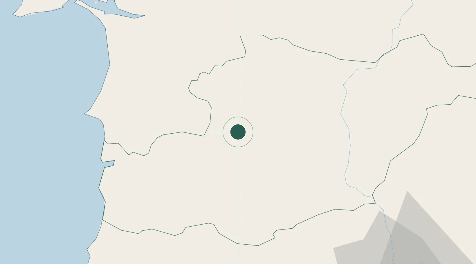
Beja
Population
5,334
Time zone
Europe/Lisbon
Elevation
182 m
Location
Nearby Logistics Neighbours
Ports
- 1Sines62 km
- 2Lagos94 km
- 3Faro95 km
- 4Setubal97 km
- 5Vila Real De S Antonio102 km
Airports
- 1Beja Airport / Airbase31 km
- 2Évora Airfield78 km
- 3Portimão Airport88 km
- 4Faro - Gago Coutinho International Airport96 km
- 5Estremoz Municipal Heliport117 km
Trade Zones
- 1Puerto de Huelva126 km
- 2Zona Franca de Sevilla200 km
- 3Zona Franca de Cádiz227 km
- 4Depósito Franco de Algeciras310 km
- 5Tanger Free Export Zone312 km
DatabookThe Record of Consolidated Knowledge
Portugal beyond logistics?