Transport Functions
Port
Multimodal
Hub Profile
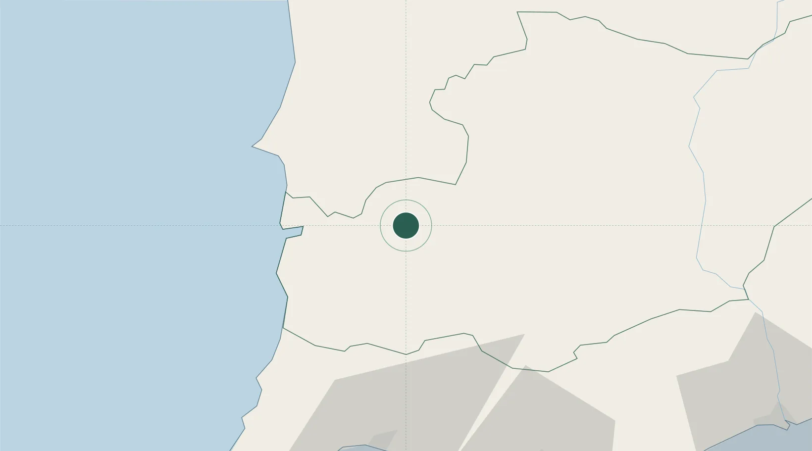
Place type
Populated place
Region
Beja
Time zone
Europe/Lisbon
Elevation
152 m
Location
Nearby Logistics Neighbours
Cities
- 1Aljustrel30 km
- 2Ermidas31 km
- 3Almograve31 km
- 4Santiago do Cacém38 km
- 5Sines41 km
Ports
- 1Sines43 km
- 2Lagos72 km
- 3Faro91 km
- 4Setubal95 km
- 5Vila Real De S Antonio112 km
Airports
- 1Beja Airport / Airbase61 km
- 2Portimão Airport66 km
- 3Faro - Gago Coutinho International Airport91 km
- 4Évora Airfield102 km
- 5Montijo Air Base119 km
Trade Zones
- 1Puerto de Huelva143 km
- 2Zona Franca de Sevilla222 km
- 3Zona Franca de Cádiz239 km
- 4Tanger Free Export Zone320 km
- 5Depósito Franco de Algeciras323 km
DatabookThe Record of Consolidated Knowledge
Portugal beyond logistics?