Transport Functions
Rail
Road
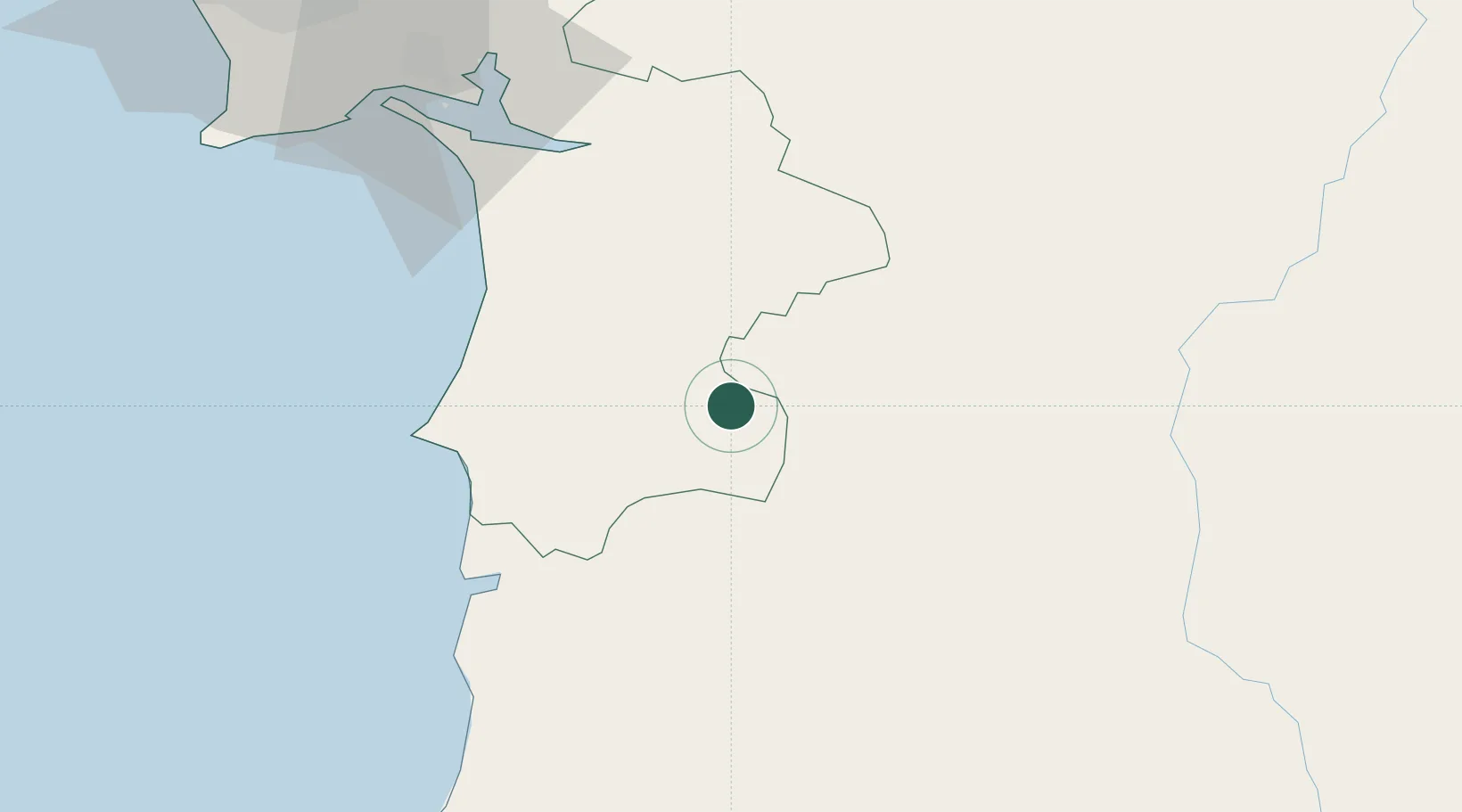
Hub Profile
Place type
Populated place
Region
Setúbal
Time zone
Europe/Lisbon
Elevation
61 m
Location
Nearby Logistics Neighbours
Cities
- 1Aljustrel24 km
- 2Santiago do Cacém28 km
- 3Colos31 km
- 4Sines39 km
- 5Alcácer do Sal42 km
Airports
- 1Beja Airport / Airbase41 km
- 2Évora Airfield73 km
- 3Portimão Airport96 km
- 4Montijo Air Base97 km
- 5Lisbon Humberto Delgado Airport109 km
Trade Zones
- 1Puerto de Huelva150 km
- 2Zona Franca de Sevilla222 km
- 3Zona Franca de Cádiz251 km
- 4VGP Park Santa Maria da Feira326 km
- 5Depósito Franco de Algeciras335 km
DatabookThe Record of Consolidated Knowledge
Portugal beyond logistics?