Transport Functions
Port
Airport
Hub Profile
Place type
Populated place
Region
Cagayan Valley
Time zone
Asia/Manila
Elevation
78 m
Logistics facilities
24
Container terminals
2
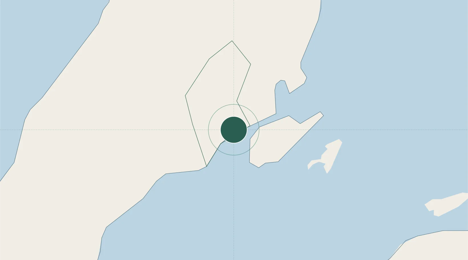
Location
Nearby Logistics Neighbours
Cities
- 1Laguna3 km
- 2Mandaue, Cebu4 km
- 3Lapu-Lapu, Cebu5 km
- 4Mactan Island Apt10 km
- 5Danao29 km
Ports
- 1Toledo31 km
- 2Tubigan40 km
- 3San Carlos58 km
- 4Tagbilaran73 km
- 5Isabel89 km
Airports
Trade Zones
- 1Robinsons Galleria Cebu0 km
- 2Cybergate Galleria0 km
- 3The Space1 km
- 4Qimonda I.T. Center1 km
- 5The Grand IT Park1 km
DatabookThe Record of Consolidated Knowledge
Philippines beyond logistics?