Large airport · Philippines

Bacolod-Silay International AirportRPVB
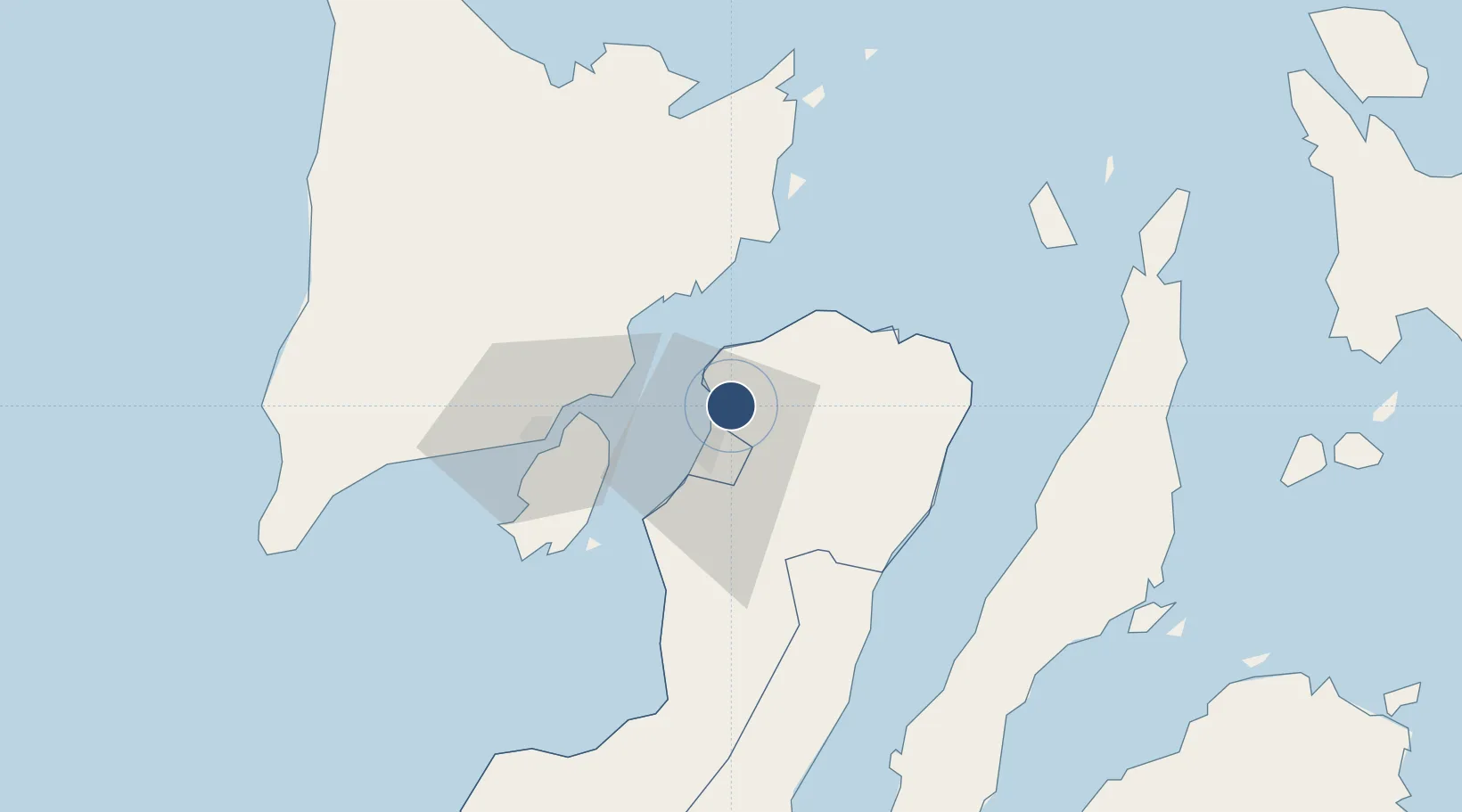
10.7762°, 123.0189°
6,562 ft
Longest runway
1
Runways
82 ft
Elevation

Runway & Layout

Bacolod-Silay International Airport runway & taxiway layout
Runway & taxiway layout — OpenStreetMap (ODbL) / OurAirports

Radio Frequencies

TOWER
118.8 MHz
approach
121 MHz
OurAirports

Runways · 1

RunwayDimensions SurfaceTrue headingLit
03/21 6,562 × 148ft Concrete
OurAirports

Airport Specifications

IATA code
BCD
OurAirports
ICAO code
RPVB
OurAirports
Airport class
Large airport
OurAirports
Scheduled service
Yes
OurAirports
Runway surface
Concrete
OurAirports
Served city
Bacolod City
OurAirports

Location

Location of RPVB
Natural Earth 10m (public domain) · Negros Occidental · RPVB · 10.78, 123.02GoogleOSMYandex

Nearby Logistics Neighbours

Airports
  1. 1Iloilo International Airport58 km
  2. 2Roxas Airport96 km
  3. 3Mactan Cebu International Airport117 km
  4. 4Evelio Javier Airport119 km
  5. 5Kalibo International Airport123 km
Nearest neighbours — logibook spatial index (haversine) over the source coordinates
Cities
  1. 1Bacolod, Negros14 km
  2. 2La Carlota42 km
  3. 3Ajuy43 km
  4. 4Iloilo, Panay48 km
  5. 5Himamaylan, Negros79 km
Nearest neighbours — logibook spatial index (haversine) over the source coordinates
Ports
  1. 1Pulupandan38 km
  2. 2Iloilo48 km
  3. 3San Carlos54 km
  4. 4Toledo81 km
  5. 5Port Capiz97 km
Nearest neighbours — logibook spatial index (haversine) over the source coordinates
Trade Zones
  1. 1Bacolod-Silay Economic Zone and Technopark1 km
  2. 2Ayala North Point TechnoHub9 km
  3. 3Lopues Mandalagan IT Center11 km
  4. 4Two Sanparq11 km
  5. 5The Central District IT Park11 km
Nearest neighbours — logibook spatial index (haversine) over the source coordinates
DatabookThe Record of Consolidated Knowledge
Philippines beyond logistics?
Browse databook

All Sources

AirportsOurAirports
Public domain
Portsthe NGA World Port Index
Public domain (US gov)
LocationsUN/LOCODE
UN/LOCODE — free
Trade Zonesthe World Bank SEZ database
CC BY 4.0
Trade ZonesOpen Zone Map
CC BY
InfrastructureOpenStreetMap
ODbL 1.0
← Philippines airports