UN/LOCODE hub · Philippines
PHLPU

Lapu-Lapu, Cebu

10.3167°, 123.9500°
2
Transport functions

Transport Functions

Port
Road
UN/LOCODE

Location

Location of PHLPU
Natural Earth 10m (public domain) · Mandaue · PHLPU · 10.32, 123.95GoogleOSMYandex

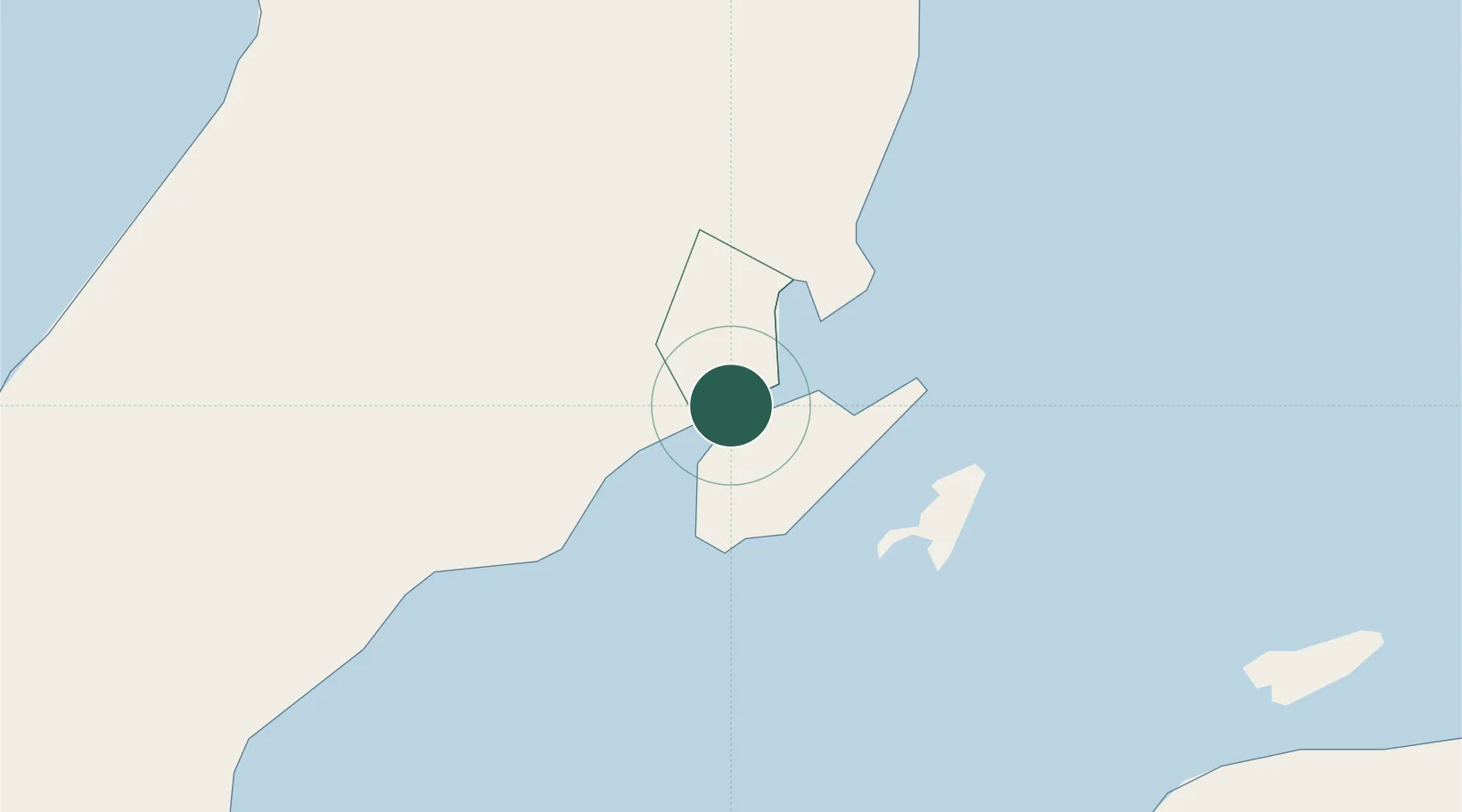
Nearby Logistics Neighbours

Cities
  1. 1Mandaue, Cebu2 km
  2. 2Cebu5 km
  3. 3Mactan Island Apt6 km
  4. 4Laguna8 km
  5. 5Danao26 km
Nearest neighbours — logibook spatial index (haversine) over the source coordinates
Ports
  1. 1Cebu6 km
  2. 2Toledo35 km
  3. 3Tubigan41 km
  4. 4San Carlos61 km
  5. 5Tagbilaran75 km
Nearest neighbours — logibook spatial index (haversine) over the source coordinates
Airports
  1. 1Mactan Cebu International Airport3 km
  2. 2Bohol-Panglao International Airport85 km
  3. 3Ormoc Airport106 km
  4. 4Bacolod-Silay International Airport114 km
  5. 5Sibulan Airport130 km
Nearest neighbours — logibook spatial index (haversine) over the source coordinates
Trade Zones
  1. 1Phil. BXT Corp. Tourism Economic Zone1 km
  2. 2Robinland IT BPO Center2 km
  3. 3Oakridge I.T. Center Towers2 km
  4. 4Adnama Building2 km
  5. 5DBP IT Plaza2 km
Nearest neighbours — logibook spatial index (haversine) over the source coordinates
DatabookThe Record of Consolidated Knowledge
Philippines beyond logistics?
Browse databook

All Sources

LocationsUN/LOCODE
UN/LOCODE — free
Portsthe NGA World Port Index
Public domain (US gov)
AirportsOurAirports
Public domain
Trade Zonesthe World Bank SEZ database
CC BY 4.0
Trade ZonesOpen Zone Map
CC BY
← Philippines locations