UN/LOCODE hub · Philippines
PHLGU

Laguna

10.3000°, 123.8833°
1
Transport functions

Transport Functions

Port
UN/LOCODE

Hub Profile

Place type
Populated place
GeoNames
Region
Central Visayas
GeoNames
Time zone
Asia/Manila
GeoNames
Elevation
12 m
GeoNames

Location

Location of PHLGU
Natural Earth 10m (public domain) · Central Visayas · PHLGU · 10.30, 123.88GoogleOSMYandex

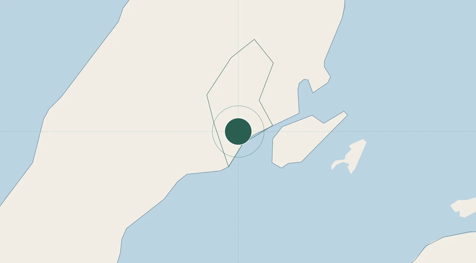
Nearby Logistics Neighbours

Cities
  1. 1Cebu3 km
  2. 2Mandaue, Cebu6 km
  3. 3Lapu-Lapu, Cebu8 km
  4. 4Mactan Island Apt13 km
  5. 5Buanoy28 km
Nearest neighbours — logibook spatial index (haversine) over the source coordinates
Ports
  1. 1Cebu2 km
  2. 2Toledo28 km
  3. 3Tubigan40 km
  4. 4San Carlos55 km
  5. 5Tagbilaran72 km
Nearest neighbours — logibook spatial index (haversine) over the source coordinates
Airports
  1. 1Mactan Cebu International Airport11 km
  2. 2Bohol-Panglao International Airport82 km
  3. 3Bacolod-Silay International Airport108 km
  4. 4Ormoc Airport113 km
  5. 5Sibulan Airport125 km
Nearest neighbours — logibook spatial index (haversine) over the source coordinates
Trade Zones
  1. 1Gaisano Capital Info Center1 km
  2. 2Robinsons Cybergate Cebu1 km
  3. 3Super Metro IT Center2 km
  4. 4Nozomi Economic Zone2 km
  5. 5GT Times Square Cebu2 km
Nearest neighbours — logibook spatial index (haversine) over the source coordinates
DatabookThe Record of Consolidated Knowledge
Philippines beyond logistics?
Browse databook

All Sources

LocationsUN/LOCODE
UN/LOCODE — free
Portsthe NGA World Port Index
Public domain (US gov)
AirportsOurAirports
Public domain
Trade Zonesthe World Bank SEZ database
CC BY 4.0
Trade ZonesOpen Zone Map
CC BY
← Philippines locations