Free Trade Zone · Philippines

Cordova Next IT and Light Industrial Park Inactive
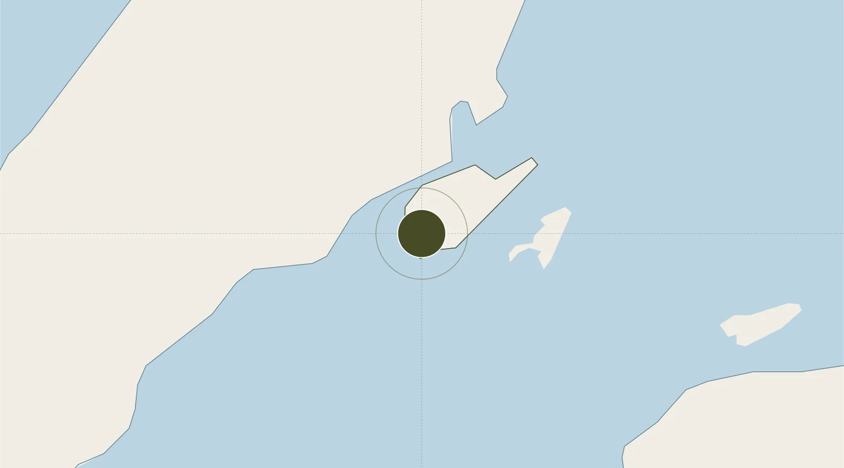
10.2669°, 123.9477°
52 ha
Zone area
6.4 km
Nearest port
5.9 km
Nearest airport

Gateway access

Nearest neighbours — logibook spatial index (haversine) over the source coordinates

Zone profile

Zone type
Free Trade Zone
Open Zone Map
Region
Lapu-Lapu
Open Zone Map
Status
Inactive
Open Zone Map
Management
Private
Open Zone Map
Operator
Cordova Land, Inc.
Open Zone Map
Legal framework
Special Economic Zone Act (Republic Act No. 7916) (as amended by Republic Act No. 8748)
Open Zone Map

Location

Location of ozm-3321
Natural Earth 10m (public domain) · Lapu-Lapu · ozm-3321 · 10.27, 123.95GoogleOSMYandex

Nearby Logistics Neighbours

Ports
  1. 1Cebu6 km
  2. 2Tubigan35 km
  3. 3Toledo36 km
  4. 4San Carlos63 km
  5. 5Tagbilaran69 km
Nearest neighbours — logibook spatial index (haversine) over the source coordinates
Airports
  1. 1Mactan Cebu International Airport6 km
  2. 2Bohol-Panglao International Airport80 km
  3. 3Ormoc Airport111 km
  4. 4Bacolod-Silay International Airport116 km
  5. 5Sibulan Airport126 km
Nearest neighbours — logibook spatial index (haversine) over the source coordinates
Cities
  1. 1Lapu-Lapu, Cebu6 km
  2. 2Cebu6 km
  3. 3Mandaue, Cebu6 km
  4. 4Mactan Island Apt7 km
  5. 5Laguna8 km
Nearest neighbours — logibook spatial index (haversine) over the source coordinates
Trade Zones
  1. 1Cebu Light Industrial Park3 km
  2. 2Mactan Economic Zone II4 km
  3. 3Mactan Ecozone II5 km
  4. 4The Space5 km
  5. 5Phil. BXT Corp. Tourism Economic Zone5 km
Nearest neighbours — logibook spatial index (haversine) over the source coordinates
DatabookThe Record of Consolidated Knowledge
Philippines beyond logistics?
Browse databook

All Sources

Trade ZonesOpen Zone Map
CC BY
Portsthe NGA World Port Index
Public domain (US gov)
AirportsOurAirports
Public domain
LocationsUN/LOCODE
UN/LOCODE — free
← Philippines trade zones