Transport Functions
Port
Road
Airport
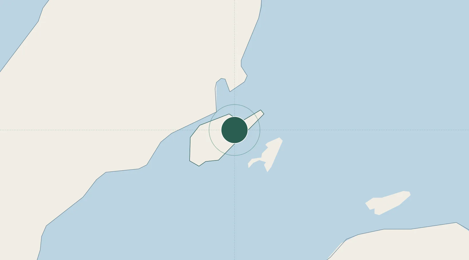
Location
Nearby Logistics Neighbours
Cities
- 1Lapu-Lapu, Cebu6 km
- 2Mandaue, Cebu8 km
- 3Cebu10 km
- 4Laguna13 km
- 5Danao26 km
Ports
- 1Cebu11 km
- 2Tubigan39 km
- 3Toledo41 km
- 4San Carlos67 km
- 5Tagbilaran74 km
Airports
Trade Zones
DatabookThe Record of Consolidated Knowledge
Philippines beyond logistics?