Transport Functions
Port
Road
Hub Profile
Place type
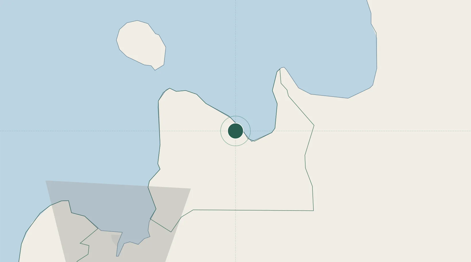
Populated place
Region
Northern Mindanao
Population
8,995
Time zone
Asia/Manila
Elevation
10 m
Location
Nearby Logistics Neighbours
Cities
- 1Medina7 km
- 2Mabini, Mindanao31 km
- 3Balingasag32 km
- 4Jasaan41 km
- 5Tagoloan51 km
Ports
- 1Gingoog7 km
- 2Nasipit Port34 km
- 3Masao43 km
- 4Villanueva44 km
- 5Bugo51 km
Airports
- 1Bancasi Airport48 km
- 2Camiguin Airport57 km
- 3Laguindingan International Airport71 km
- 4Surigao Airport110 km
- 5Tandag Airport125 km
DatabookThe Record of Consolidated Knowledge
Philippines beyond logistics?