Transport Functions
Port
Road
Hub Profile
Region
MSR
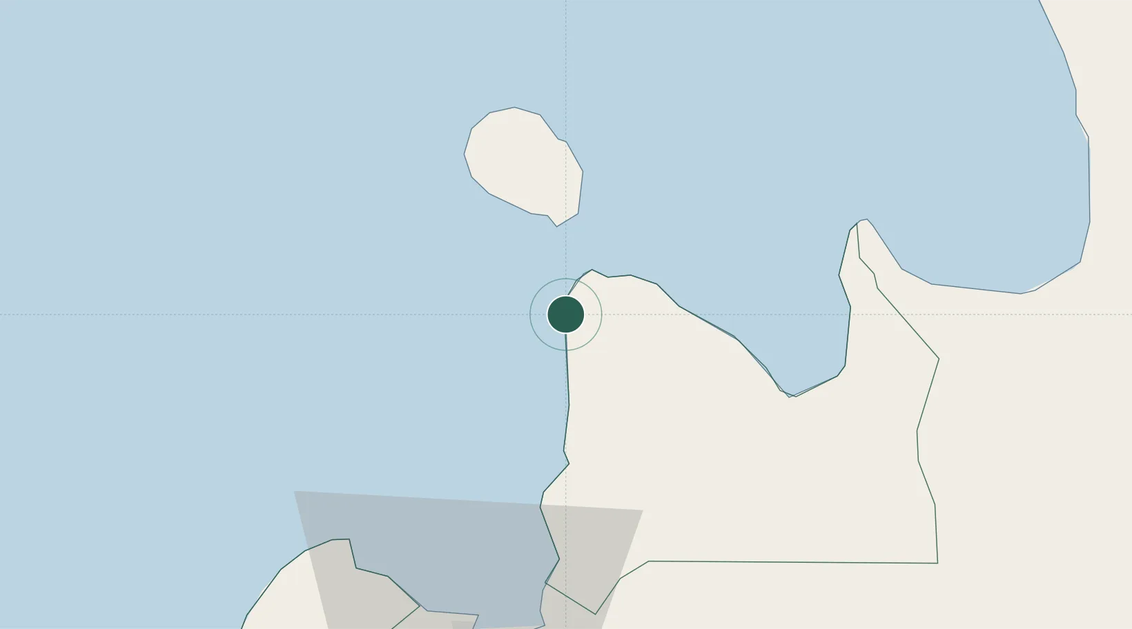
Location
Nearby Logistics Neighbours
Cities
- 1Balingasag22 km
- 2Medina26 km
- 3Lunao31 km
- 4Jasaan34 km
- 5Tagoloan48 km
Ports
- 1Gingoog37 km
- 2Villanueva41 km
- 3Bugo48 km
- 4Cagayan De Oro52 km
- 5Nasipit Port61 km
Airports
- 1Camiguin Airport35 km
- 2Laguindingan International Airport52 km
- 3Bancasi Airport76 km
- 4Surigao Airport118 km
- 5Bohol-Panglao International Airport131 km
DatabookThe Record of Consolidated Knowledge
Philippines beyond logistics?