Transport Functions
Port
Rail
Road
Hub Profile
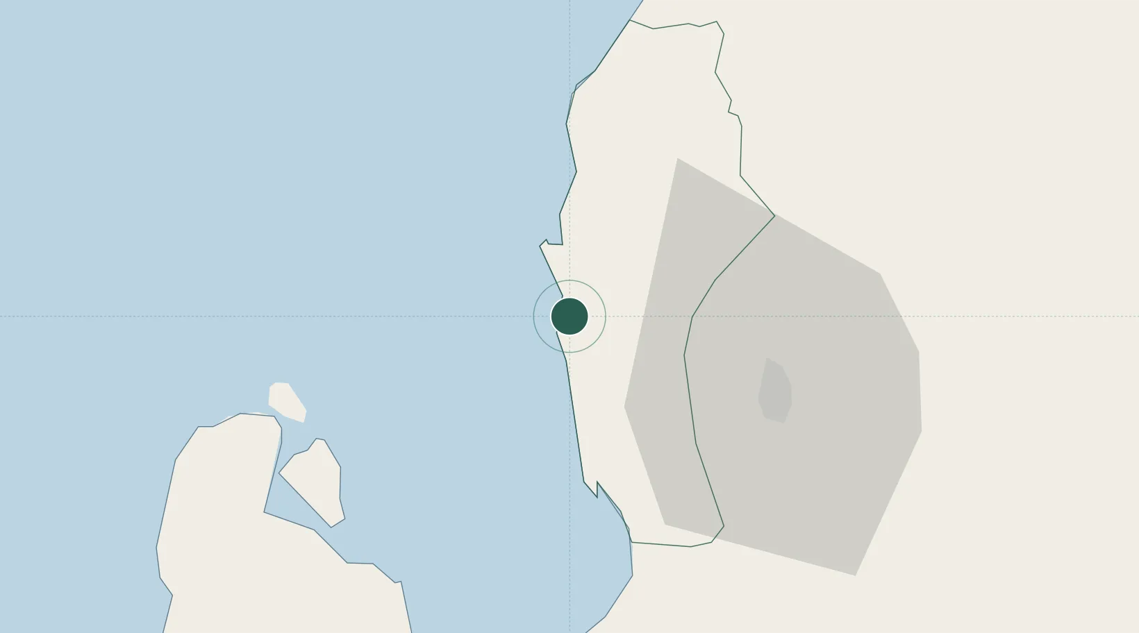
Place type
District seat
Region
Ilocos
Population
77,670
Time zone
Asia/Manila
Elevation
13 m
Location
Nearby Logistics Neighbours
Cities
- 1Pagudpud, Luzon11 km
- 2Agoo23 km
- 3Makati84 km
- 4Cabanatuan134 km
- 5Salomague141 km
Ports
- 1San Fernando Harbor11 km
- 2Masinloc114 km
- 3Subic Bay191 km
- 4Manila226 km
- 5Mariveles232 km
Airports
- 1San Fernando Airport9 km
- 2Loakan Airport36 km
- 3Clark International Airport / Clark Air Base150 km
- 4Dr. Juan C. Angara Airport154 km
- 5Cauayan Airport160 km
Trade Zones
DatabookThe Record of Consolidated Knowledge
Philippines beyond logistics?