Diversified Zone · Philippines

Kelly Special Economic Zone Under Development
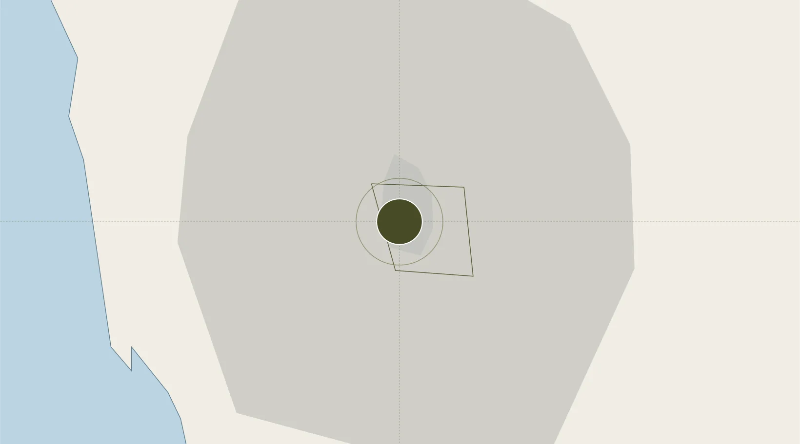
16.4018°, 120.5885°
133 ha
Zone area
37.6 km
Nearest port
4.5 km
Nearest airport

Gateway access

Nearest neighbours — logibook spatial index (haversine) over the source coordinates

Zone profile

Zone type
Diversified Zone
Open Zone Map
Region
Baguio
Open Zone Map
Status
Under Development
Open Zone Map
Management
Private
Open Zone Map
Operator
Benguet Corp.
Open Zone Map
Legal framework
Special Economic Zone Act (Republic Act No. 7916) (as amended by Republic Act No. 8748)
Open Zone Map

Location

Location of ozm-3192
Natural Earth 10m (public domain) · Baguio · ozm-3192 · 16.40, 120.59GoogleOSMYandex

Nearby Logistics Neighbours

Ports
  1. 1San Fernando Harbor38 km
  2. 2Masinloc117 km
  3. 3Subic Bay181 km
  4. 4Manila206 km
  5. 5Mariveles219 km
Nearest neighbours — logibook spatial index (haversine) over the source coordinates
Airports
  1. 1Loakan Airport5 km
  2. 2San Fernando Airport37 km
  3. 3Dr. Juan C. Angara Airport123 km
  4. 4Clark International Airport / Clark Air Base135 km
  5. 5Cauayan Airport137 km
Nearest neighbours — logibook spatial index (haversine) over the source coordinates
Cities
  1. 1Agoo26 km
  2. 2Bauang32 km
  3. 3Pagudpud, Luzon38 km
  4. 4Makati55 km
  5. 5Cabanatuan110 km
Nearest neighbours — logibook spatial index (haversine) over the source coordinates
Trade Zones
  1. 1SM Baguio Cyberzone Building1 km
  2. 2Abanao Square2 km
  3. 3Neutrinus Information Technology Center2 km
  4. 4Cuesta IT-BPO Center2 km
  5. 5John Hay Special Tourism Ecozone2 km
Nearest neighbours — logibook spatial index (haversine) over the source coordinates
DatabookThe Record of Consolidated Knowledge
Philippines beyond logistics?
Browse databook

All Sources

Trade ZonesOpen Zone Map
CC BY
Portsthe NGA World Port Index
Public domain (US gov)
AirportsOurAirports
Public domain
LocationsUN/LOCODE
UN/LOCODE — free
← Philippines trade zones