UN/LOCODE hub · Philippines
PHPPP

Pagudpud, Luzon

16.6167°, 120.3167°
2
Transport functions

Transport Functions

Port
Road
UN/LOCODE

Hub Profile

Region
LUN
GeoNames

Location

Location of PHPPP
Natural Earth 10m (public domain) · LUN · PHPPP · 16.62, 120.32GoogleOSMYandex

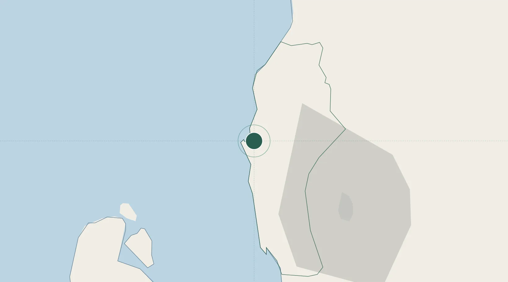
Nearby Logistics Neighbours

Cities
  1. 1Bauang11 km
  2. 2Agoo34 km
  3. 3Makati86 km
  4. 4Salomague130 km
  5. 5Cabanatuan144 km
Nearest neighbours — logibook spatial index (haversine) over the source coordinates
Ports
  1. 1San Fernando Harbor0 km
  2. 2Masinloc125 km
  3. 3Subic Bay202 km
  4. 4Manila237 km
  5. 5Claveria237 km
Nearest neighbours — logibook spatial index (haversine) over the source coordinates
Airports
  1. 1San Fernando Airport3 km
  2. 2Loakan Airport42 km
  3. 3Cauayan Airport157 km
  4. 4Dr. Juan C. Angara Airport160 km
  5. 5Clark International Airport / Clark Air Base161 km
Nearest neighbours — logibook spatial index (haversine) over the source coordinates
Trade Zones
  1. 1Poro Point Special Economic Zone3 km
  2. 2Poro Point Freeport Zone5 km
  3. 3Mt. Resource Trade Center35 km
  4. 4Neutrinus Information Technology Center37 km
  5. 5Cuesta IT-BPO Center37 km
Nearest neighbours — logibook spatial index (haversine) over the source coordinates
DatabookThe Record of Consolidated Knowledge
Philippines beyond logistics?
Browse databook

All Sources

LocationsUN/LOCODE
UN/LOCODE — free
Portsthe NGA World Port Index
Public domain (US gov)
AirportsOurAirports
Public domain
Trade Zonesthe World Bank SEZ database
CC BY 4.0
Trade ZonesOpen Zone Map
CC BY
← Philippines locations