Specialized Zone · Philippines

Mt. Resource Trade Center Under Development
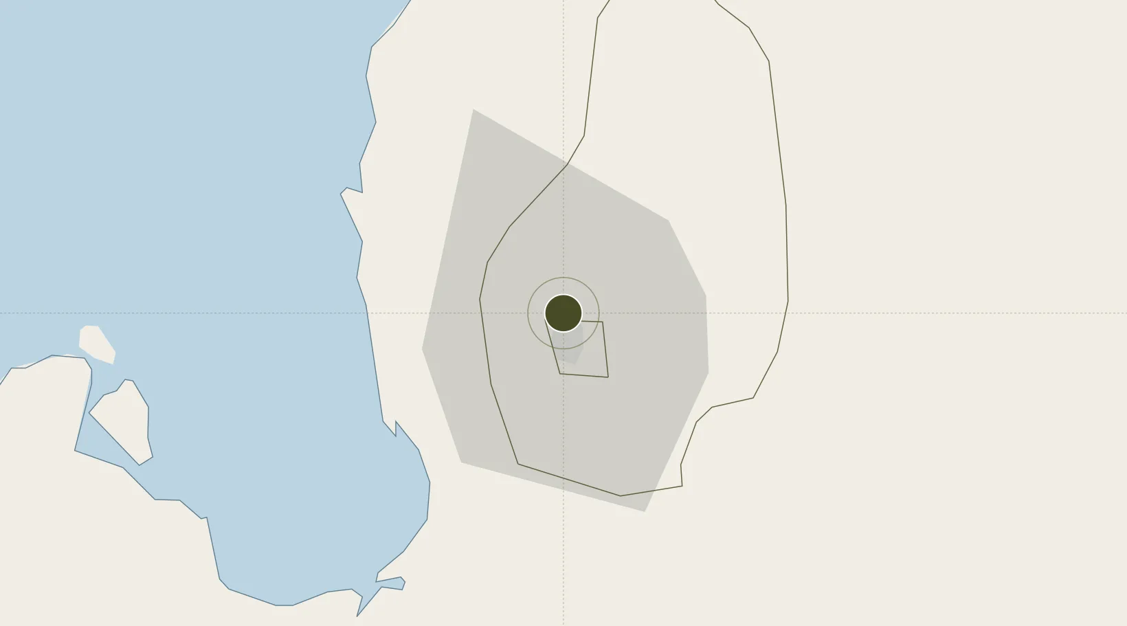
16.4442°, 120.5900°
0 ha
Zone area
34.9 km
Nearest port
8.3 km
Nearest airport

Gateway access

Nearest neighbours — logibook spatial index (haversine) over the source coordinates

Zone profile

Zone type
Specialized Zone
Open Zone Map
Specialization
IT
Open Zone Map
Region
Benguet
Open Zone Map
Status
Under Development
Open Zone Map
Management
Private
Open Zone Map
Operator
ALPA-PCM, Inc.
Open Zone Map
Legal framework
Special Economic Zone Act (Republic Act No. 7916) (as amended by Republic Act No. 8748)
Open Zone Map

Location

Location of ozm-3527
Natural Earth 10m (public domain) · Benguet · ozm-3527 · 16.44, 120.59GoogleOSMYandex

Nearby Logistics Neighbours

Ports
  1. 1San Fernando Harbor35 km
  2. 2Masinloc121 km
  3. 3Subic Bay186 km
  4. 4Manila211 km
  5. 5Mariveles224 km
Nearest neighbours — logibook spatial index (haversine) over the source coordinates
Airports
  1. 1Loakan Airport8 km
  2. 2San Fernando Airport35 km
  3. 3Dr. Juan C. Angara Airport126 km
  4. 4Cauayan Airport135 km
  5. 5Clark International Airport / Clark Air Base140 km
Nearest neighbours — logibook spatial index (haversine) over the source coordinates
Cities
  1. 1Agoo28 km
  2. 2Bauang30 km
  3. 3Pagudpud, Luzon35 km
  4. 4Makati55 km
  5. 5Cabanatuan114 km
Nearest neighbours — logibook spatial index (haversine) over the source coordinates
Trade Zones
  1. 1Cuesta IT-BPO Center3 km
  2. 2Neutrinus Information Technology Center3 km
  3. 3Abanao Square3 km
  4. 4SM Baguio Cyberzone Building4 km
  5. 5Kelly Special Economic Zone5 km
Nearest neighbours — logibook spatial index (haversine) over the source coordinates
DatabookThe Record of Consolidated Knowledge
Philippines beyond logistics?
Browse databook

All Sources

Trade ZonesOpen Zone Map
CC BY
Portsthe NGA World Port Index
Public domain (US gov)
AirportsOurAirports
Public domain
LocationsUN/LOCODE
UN/LOCODE — free
← Philippines trade zones