Diversified Zone · Philippines

Poro Point Freeport Zone Active
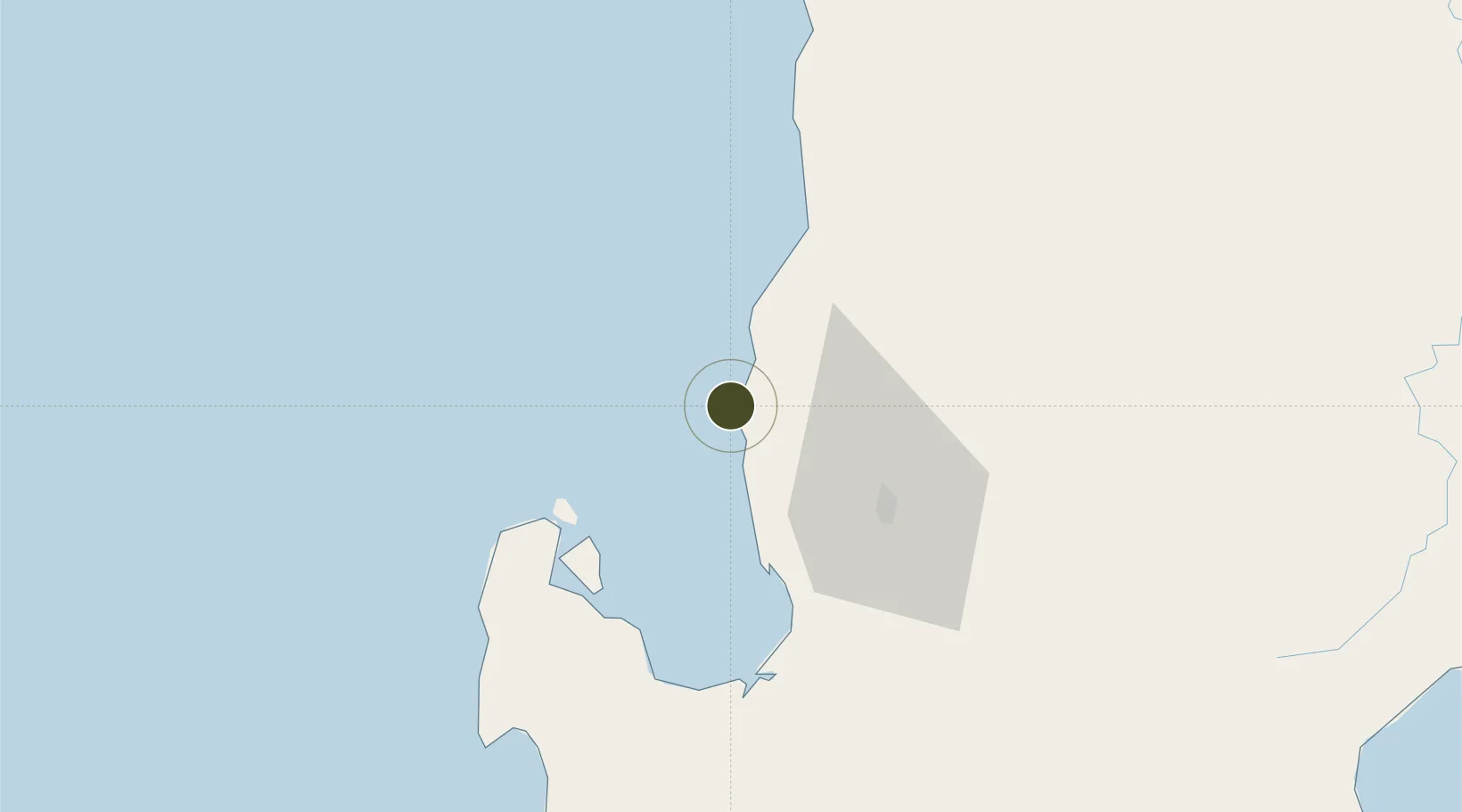
16.6167°, 120.2746°
236 ha
Zone area
4.5 km
Nearest port
3.8 km
Nearest airport

Gateway access

Nearest neighbours — logibook spatial index (haversine) over the source coordinates

Zone profile

Zone type
Diversified Zone
Open Zone Map
Status
Active
Open Zone Map
Management
Public
Open Zone Map
Operator
Poro Point Management Corporation
Open Zone Map
Legal framework
Proclamation No. 1184, December 7, 2006 (Creation) Special Economic Zone Act (Republic Act No. 7916) (as amended by Republic Act No. 8748)
Open Zone Map

Location

Location of ozm-3209
Natural Earth 10m (public domain) · ozm-3209 · 16.62, 120.27GoogleOSMYandex

Nearby Logistics Neighbours

Ports
  1. 1San Fernando Harbor5 km
  2. 2Masinloc124 km
  3. 3Subic Bay202 km
  4. 4Manila238 km
  5. 5Claveria238 km
Nearest neighbours — logibook spatial index (haversine) over the source coordinates
Airports
  1. 1San Fernando Airport4 km
  2. 2Loakan Airport46 km
  3. 3Cauayan Airport161 km
  4. 4Clark International Airport / Clark Air Base162 km
  5. 5Dr. Juan C. Angara Airport164 km
Nearest neighbours — logibook spatial index (haversine) over the source coordinates
Cities
  1. 1Pagudpud, Luzon5 km
  2. 2Bauang12 km
  3. 3Agoo35 km
  4. 4Makati91 km
  5. 5Salomague131 km
Nearest neighbours — logibook spatial index (haversine) over the source coordinates
Trade Zones
  1. 1Poro Point Special Economic Zone1 km
  2. 2Mt. Resource Trade Center39 km
  3. 3Neutrinus Information Technology Center41 km
  4. 4Cuesta IT-BPO Center41 km
  5. 5Abanao Square41 km
Nearest neighbours — logibook spatial index (haversine) over the source coordinates
DatabookThe Record of Consolidated Knowledge
Philippines beyond logistics?
Browse databook

All Sources

Trade ZonesOpen Zone Map
CC BY
Portsthe NGA World Port Index
Public domain (US gov)
AirportsOurAirports
Public domain
LocationsUN/LOCODE
UN/LOCODE — free
← Philippines trade zones