Medium airport · Philippines
Cauayan AirportRPUY
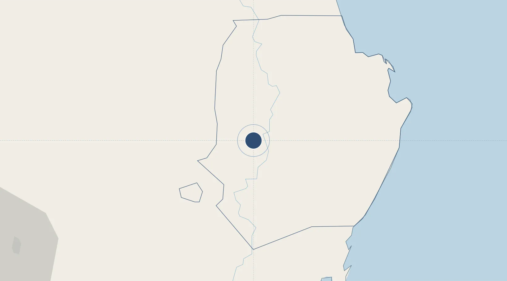
16.9299°, 121.7530°
6,890 ft
Longest runway
1
Runways
200 ft
Elevation
Runway & Layout

Radio Frequencies
FSS
122.7 MHz
RDO
Navaids
CUY VOR-DME Cauayan 116.50 MHz
Runways · 1
| Runway | Dimensions | Surface | True heading | Lit |
|---|---|---|---|---|
| 12/30 | 6,890 × 118ft | Concrete | 126° | ✓ |
Airport Specifications
IATA code
CYZ
ICAO code
RPUY
Airport class
Medium airport
Scheduled service
Yes
Runway surface
Concrete
Served city
Cauayan City
Location
Nearby Logistics Neighbours
Airports
- 1Palanan Community Airport73 km
- 2Tuguegarao Airport79 km
- 3Loakan Airport136 km
- 4Dr. Juan C. Angara Airport136 km
- 5Cagayan North International Airport139 km
Cities
- 1Sucat18 km
- 2Makati90 km
- 3Pagudpud, Luzon157 km
- 4Amunitan/Aparri157 km
- 5Bauang160 km
Ports
- 1San Fernando Harbor157 km
- 2Aparri160 km
- 3Claveria201 km
- 4Masinloc246 km
- 5Manila274 km
Trade Zones
DatabookThe Record of Consolidated Knowledge
Philippines beyond logistics?