Seaport · Philippines
ManilaPHMNL
14.5833°, 120.9667°
9.4 m
Channel depth
3
Container terminals
480.3
Port liner connectivity
Channel & Berth Profile
Pilotage, Tugs & Services
Pilotage compulsoryYES
Pilotage availableYES
Pilotage advisableYES
Local assistanceYES
Tug assistanceYES
Potable waterYES
Diesel bunkersYES
MedicalYES
Garbage disposalYES
Facilities & Capabilities
Container—
Ro-Ro—
Liquid bulk—
Dry bulk—
Oil terminal—
Break bulk—
Dry dockNO
RepairsNO
BunkeringYES
Rail linkYES
Dangerous cargo—
ISPS security—
Harbour Specifications
Harbour size
Large
Harbour type
Coastal (Breakwater)
Shelter
Excellent
Water body
South China Sea; North Pacific Ocean
Tidal range
1 m
Overhead limit
Yes
Pilotage
Yes
Liner Connectivity
480.3
PLSCI
Port Liner Shipping Connectivity Index for Manila, as published by UNCTAD for the latest available quarter. Higher values indicate stronger scheduled liner-shipping integration.
Shown relative to the highest per-port PLSCI in the dataset (1,657.9).
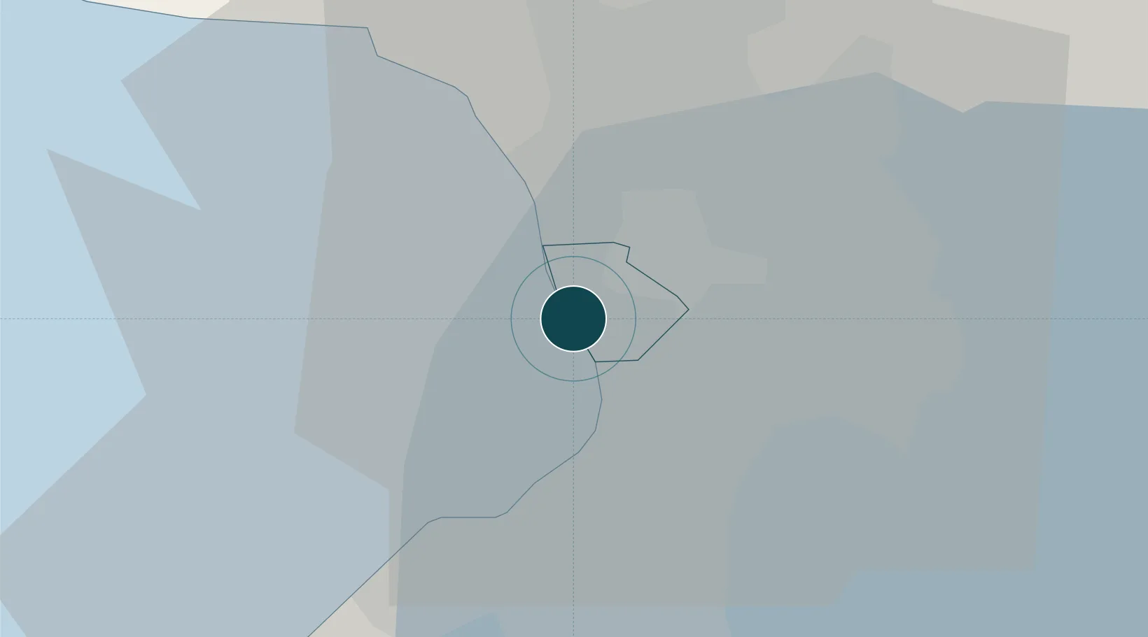
Location
Container Terminals · 3
SOUTH HARBOR CONTAINER TERMINAL
ATI ASIAN TERMINALS INC.
MANILA INTERNATIONAL CONTAINER TERMINAL (MICT)
MIC INTERNATIONAL CONTAINER TERMINAL SERVICES, INC. (ICTSI)
NORTH HARBOR DOMESTIC PORT
NHDP PORT OF MANILA
Nearby Logistics Neighbours
Ports
- 1Mariveles55 km
- 2Nasugbu67 km
- 3Subic Bay79 km
- 4Batangas City93 km
- 5Calapan132 km
Cities
- 1Manila North Harbour3 km
- 2Philippines4 km
- 3Makati City6 km
- 4Navotas7 km
- 5Bangkal7 km
Airports
Trade Zones
DatabookThe Record of Consolidated Knowledge
Philippines beyond logistics?