Transport Functions
Multimodal
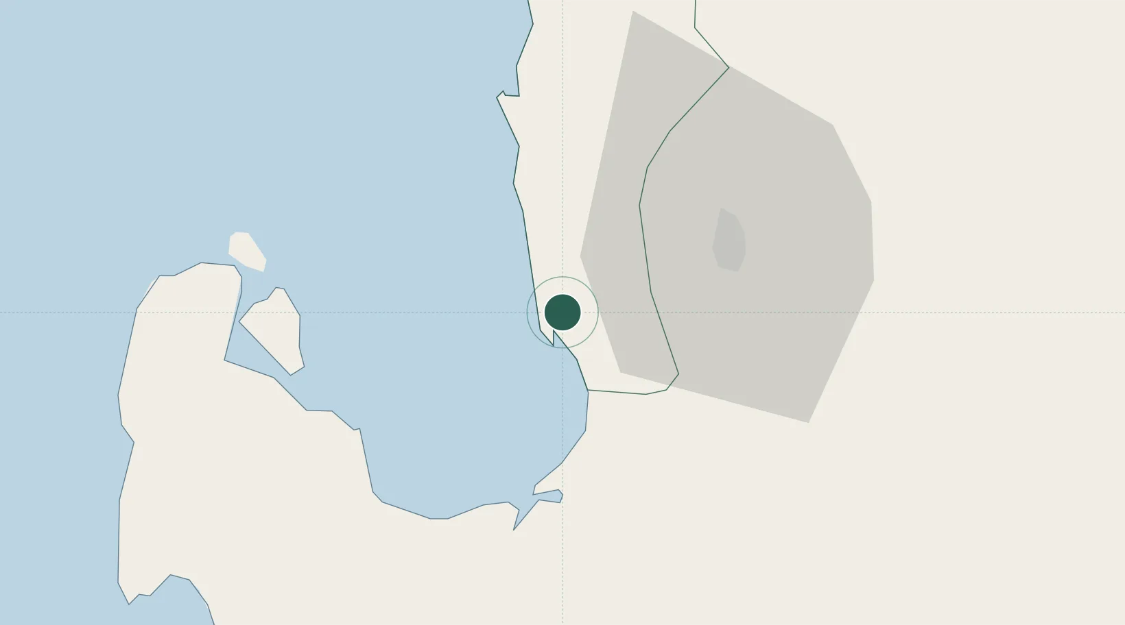
Hub Profile
Place type
District seat
Region
Ilocos
Time zone
Asia/Manila
Elevation
20 m
Location
Nearby Logistics Neighbours
Cities
- 1Bauang23 km
- 2Pagudpud, Luzon34 km
- 3Makati79 km
- 4Cabanatuan113 km
- 5Clark Field (Angeles)128 km
Ports
- 1San Fernando Harbor34 km
- 2Masinloc96 km
- 3Subic Bay169 km
- 4Manila203 km
- 5Mariveles210 km
Airports
- 1Loakan Airport28 km
- 2San Fernando Airport32 km
- 3Clark International Airport / Clark Air Base127 km
- 4Dr. Juan C. Angara Airport138 km
- 5Cauayan Airport163 km
Trade Zones
DatabookThe Record of Consolidated Knowledge
Philippines beyond logistics?