Medium airport · Philippines
Loakan AirportRPUB
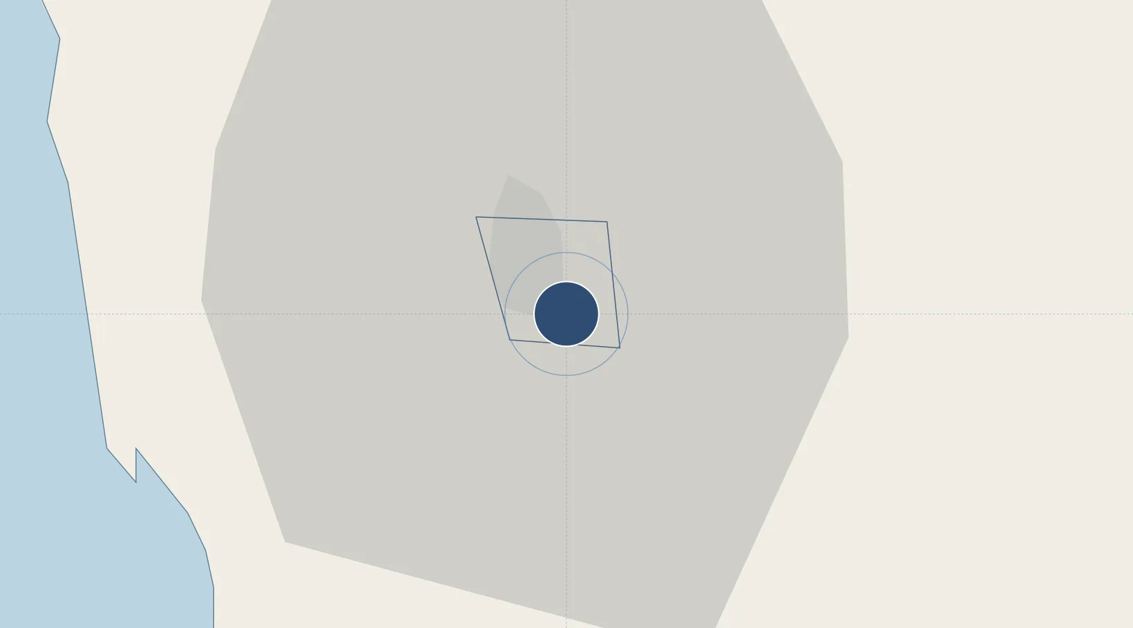
16.3750°, 120.6199°
5,912 ft
Longest runway
1
Runways
4,251 ft
Elevation
Runway & Layout

Navaids
BG NDB Baguio 272 kHz
Runways · 1
| Runway | Dimensions | Surface | True heading | Lit |
|---|---|---|---|---|
| 09/27 | 5,912 × 115ft | Concrete | 088° | ✓ |
Airport Specifications
IATA code
BAG
ICAO code
RPUB
Airport class
Medium airport
Scheduled service
Yes
Runway surface
Concrete
Served city
Baguio
Location
Nearby Logistics Neighbours
Airports
Cities
- 1Agoo28 km
- 2Bauang36 km
- 3Pagudpud, Luzon42 km
- 4Makati51 km
- 5Cabanatuan106 km
Ports
- 1San Fernando Harbor42 km
- 2Masinloc116 km
- 3Subic Bay179 km
- 4Manila203 km
- 5Mariveles216 km
DatabookThe Record of Consolidated Knowledge
Philippines beyond logistics?