Large airport · Philippines

Clark International Airport / Clark Air BaseRPLC
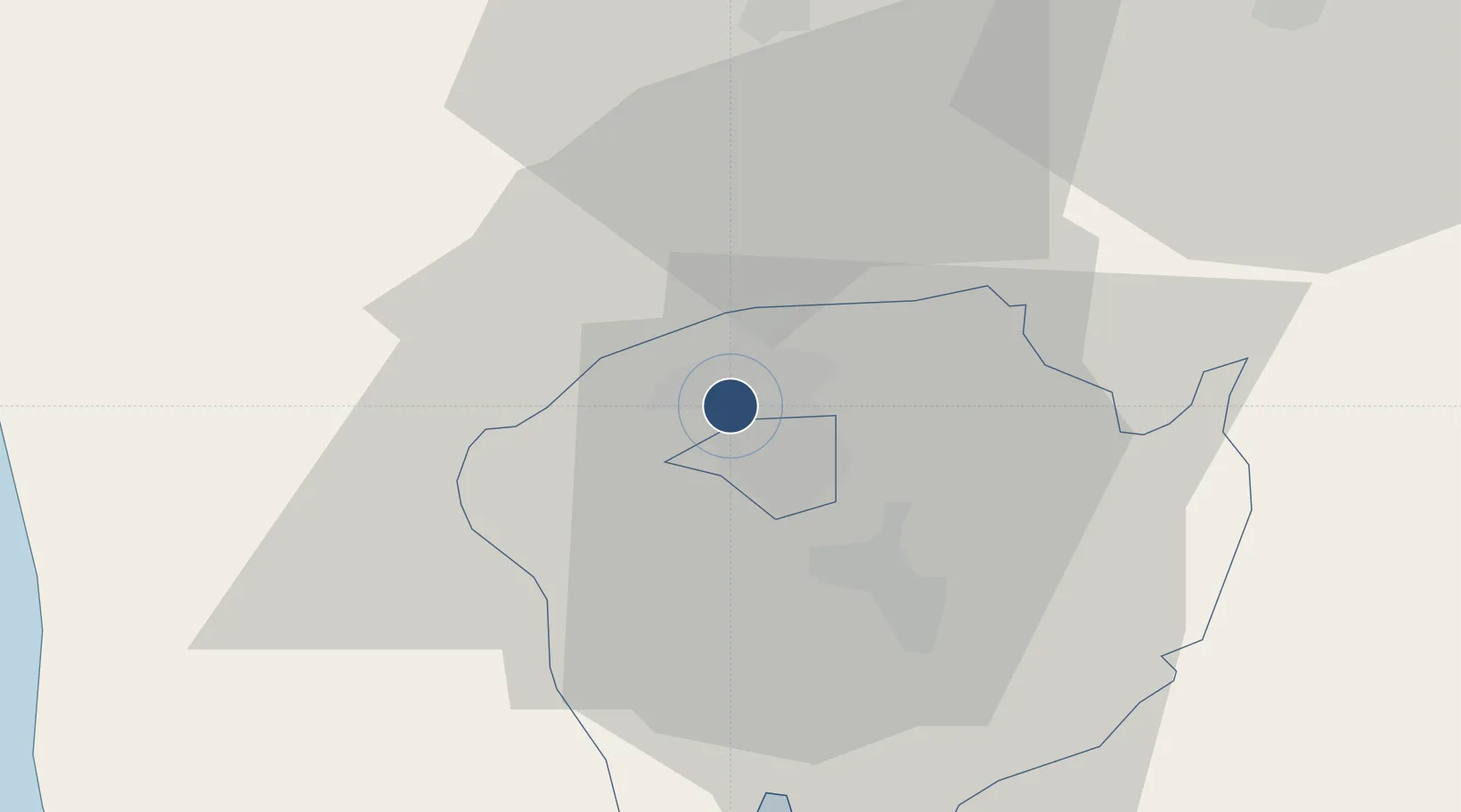
15.1860°, 120.5600°
10,499 ft
Longest runway
1
Runways
484 ft
Elevation

Runway & Layout

Clark International Airport / Clark Air Base runway & taxiway layout
Runway & taxiway layout — OpenStreetMap (ODbL) / OurAirports

Radio Frequencies

ATIS
127.2 MHz
TWR
118.7 MHz
CLD
125.2 MHz
CLNC DEL
A/D
119.2 MHz
APP
FSS
544.75 MHz
RDO
OurAirports

Navaids

CIA VOR-DME Clark 113.10 MHz
CIA NDB Clark 362 kHz
OurAirports

Runways · 1

RunwayDimensions SurfaceTrue headingLit
02R/20L 10,499 × 197ft Concrete 021°
OurAirports

Airport Specifications

IATA code
CRK
OurAirports
ICAO code
RPLC
OurAirports
Airport class
Large airport
OurAirports
Scheduled service
Yes
OurAirports
Runway surface
Concrete
OurAirports
Served city
Mabalacat
OurAirports

Location

Location of RPLC
Natural Earth 10m (public domain) · Pampanga · RPLC · 15.19, 120.56GoogleOSMYandex

Nearby Logistics Neighbours

Airports
  1. 1Subic Bay International Airport / Naval Air Station Cubi Point53 km
  2. 2Danilo Atienza Air Base85 km
  3. 3Ninoy Aquino International Airport90 km
  4. 4Dr. Juan C. Angara Airport118 km
  5. 5Loakan Airport132 km
Nearest neighbours — logibook spatial index (haversine) over the source coordinates
Cities
  1. 1Clark Field (Angeles)0 km
  2. 2Potrero18 km
  3. 3Bulacan50 km
  4. 4Plaridel/Ozamis50 km
  5. 5Subic Bay53 km
Nearest neighbours — logibook spatial index (haversine) over the source coordinates
Ports
  1. 1Subic Bay53 km
  2. 2Masinloc77 km
  3. 3Manila80 km
  4. 4Mariveles84 km
  5. 5Nasugbu123 km
Nearest neighbours — logibook spatial index (haversine) over the source coordinates
Trade Zones
  1. 1DMIA Special Economic Zone II3 km
  2. 2Skytech IT Park (Mabalacat)3 km
  3. 3Clark Special Economic Zone3 km
  4. 4Clark TI Special Economic Zone3 km
  5. 5SM City Clark IT Park3 km
Nearest neighbours — logibook spatial index (haversine) over the source coordinates
DatabookThe Record of Consolidated Knowledge
Philippines beyond logistics?
Browse databook

All Sources

AirportsOurAirports
Public domain
Portsthe NGA World Port Index
Public domain (US gov)
LocationsUN/LOCODE
UN/LOCODE — free
Trade Zonesthe World Bank SEZ database
CC BY 4.0
Trade ZonesOpen Zone Map
CC BY
InfrastructureOpenStreetMap
ODbL 1.0
← Philippines airports