Diversified Zone · Philippines

Poro Point Special Economic Zone Active
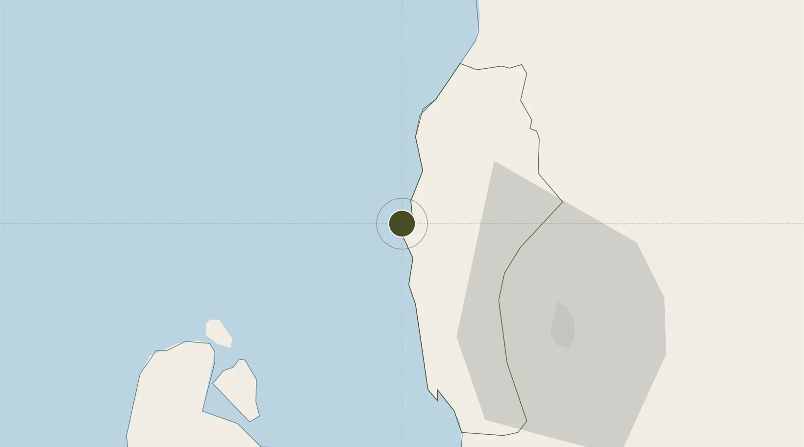
16.6112°, 120.2861°
236 ha
Zone area
3.3 km
Nearest port
2.5 km
Nearest airport

Gateway access

Nearest neighbours — logibook spatial index (haversine) over the source coordinates

Zone profile

Zone type
Diversified Zone
Open Zone Map
Region
La Union
Open Zone Map
Status
Active
Open Zone Map
Management
Public
Open Zone Map
Operator
Poro Point Management Corporation
Open Zone Map
Legal framework
Special Economic Zone Act (Republic Act No. 7916) (as amended by Republic Act No. 8748)
Open Zone Map

Location

Location of ozm-3210
Natural Earth 10m (public domain) · La Union · ozm-3210 · 16.61, 120.29GoogleOSMYandex

Nearby Logistics Neighbours

Ports
  1. 1San Fernando Harbor3 km
  2. 2Masinloc123 km
  3. 3Subic Bay201 km
  4. 4Manila237 km
  5. 5Claveria239 km
Nearest neighbours — logibook spatial index (haversine) over the source coordinates
Airports
  1. 1San Fernando Airport3 km
  2. 2Loakan Airport44 km
  3. 3Cauayan Airport160 km
  4. 4Clark International Airport / Clark Air Base161 km
  5. 5Dr. Juan C. Angara Airport163 km
Nearest neighbours — logibook spatial index (haversine) over the source coordinates
Cities
  1. 1Pagudpud, Luzon3 km
  2. 2Bauang11 km
  3. 3Agoo34 km
  4. 4Makati89 km
  5. 5Salomague131 km
Nearest neighbours — logibook spatial index (haversine) over the source coordinates
Trade Zones
  1. 1Poro Point Freeport Zone1 km
  2. 2Mt. Resource Trade Center37 km
  3. 3Neutrinus Information Technology Center39 km
  4. 4Cuesta IT-BPO Center39 km
  5. 5Abanao Square40 km
Nearest neighbours — logibook spatial index (haversine) over the source coordinates
DatabookThe Record of Consolidated Knowledge
Philippines beyond logistics?
Browse databook

All Sources

Trade ZonesOpen Zone Map
CC BY
Portsthe NGA World Port Index
Public domain (US gov)
AirportsOurAirports
Public domain
LocationsUN/LOCODE
UN/LOCODE — free
← Philippines trade zones