Transport Functions
Multimodal
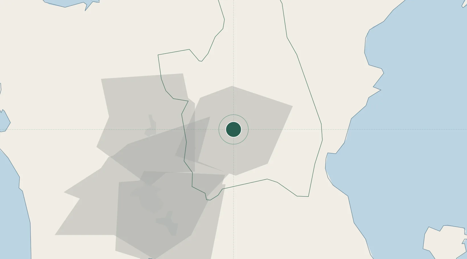
Hub Profile
Region
NUE
Location
Nearby Logistics Neighbours
Cities
- 1Clark Field (Angeles)55 km
- 2Plaridel/Ozamis60 km
- 3Potrero64 km
- 4Bulacan73 km
- 5Valenzuela87 km
Ports
- 1Manila100 km
- 2Subic Bay107 km
- 3Masinloc109 km
- 4Mariveles128 km
- 5San Fernando Harbor144 km
Airports
Trade Zones
- 1Megacenter IT Building0 km
- 2Luisita Industrial Park39 km
- 3Robinsons Luisita40 km
- 4Tarlac Provincial IT Park II41 km
- 5New Clark City - Phase I45 km
DatabookThe Record of Consolidated Knowledge
Philippines beyond logistics?