Transport Functions
Port
Road
Hub Profile
Place type
Populated place
Region
Cagayan Valley
Time zone
Asia/Manila
Elevation
313 m
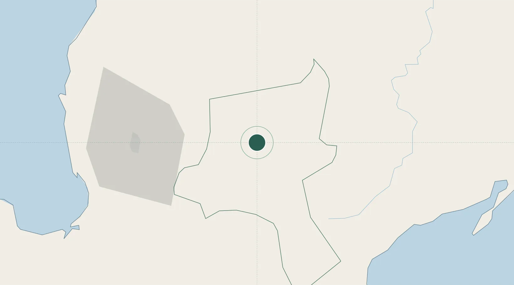
Location
Nearby Logistics Neighbours
Cities
- 1Agoo79 km
- 2Bauang84 km
- 3Pagudpud, Luzon86 km
- 4Cabanatuan105 km
- 5Sucat108 km
Ports
- 1San Fernando Harbor86 km
- 2Masinloc156 km
- 3Subic Bay201 km
- 4Manila204 km
- 5Aparri224 km
Airports
- 1Loakan Airport51 km
- 2San Fernando Airport87 km
- 3Dr. Juan C. Angara Airport88 km
- 4Cauayan Airport90 km
- 5Clark International Airport / Clark Air Base149 km
Trade Zones
DatabookThe Record of Consolidated Knowledge
Philippines beyond logistics?