Medium airport · Philippines

San Fernando AirportRPUS
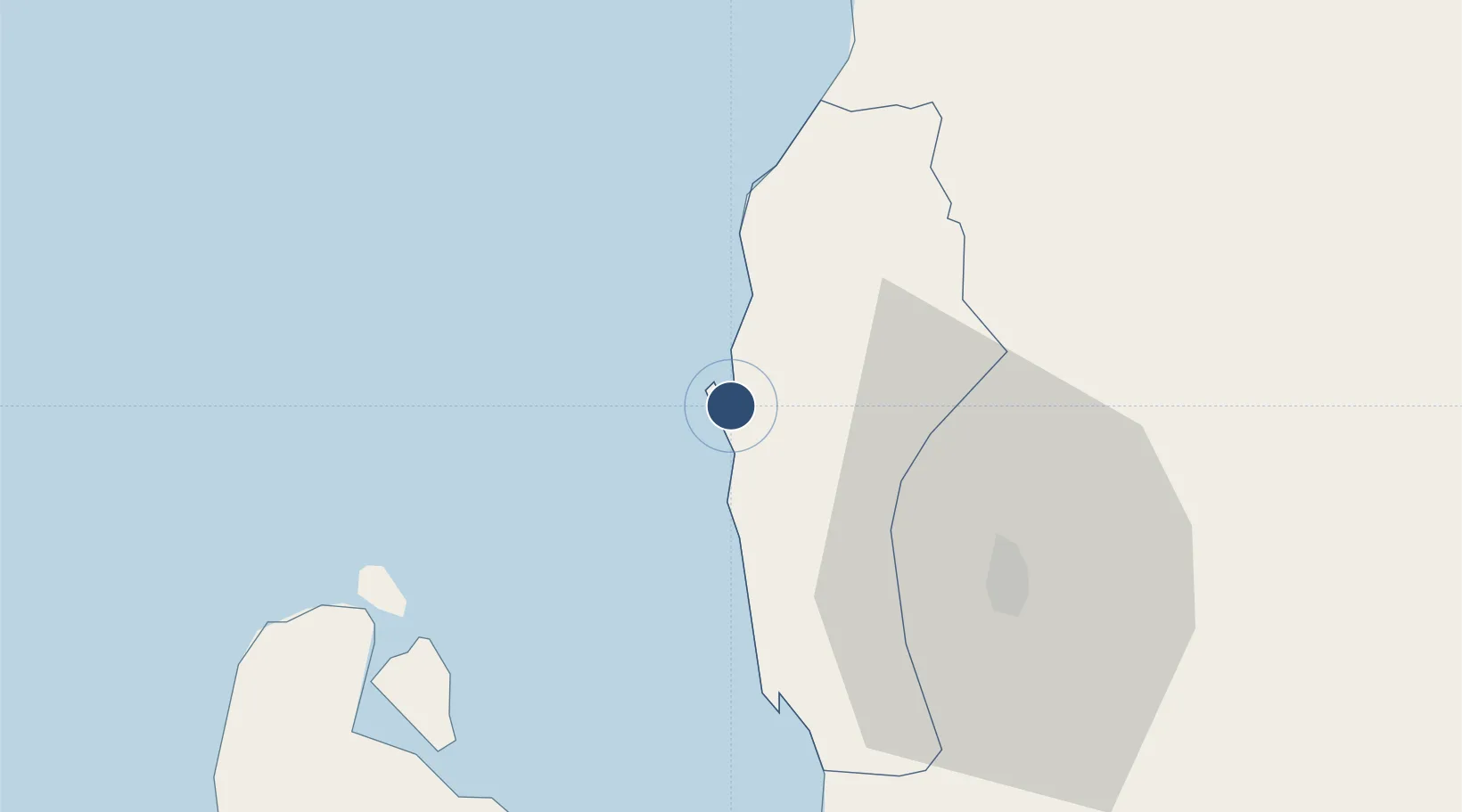
16.5956°, 120.3030°
3,937 ft
Longest runway
1
Runways
13 ft
Elevation

Runway & Layout

San Fernando Airport runway & taxiway layout
Runway & taxiway layout — OpenStreetMap (ODbL) / OurAirports

Radio Frequencies

TWR
122.1 MHz
FSS
122.1 MHz
RDO
OurAirports

Navaids

SAN VOR San Fernando 114.50 MHz
OurAirports

Runways · 1

RunwayDimensions SurfaceTrue headingLit
01/19 3,937 × 98ft Concrete 005°
OurAirports

Airport Specifications

IATA code
SFE
OurAirports
ICAO code
RPUS
OurAirports
Airport class
Medium airport
OurAirports
Scheduled service
No
OurAirports
Runway surface
Concrete
OurAirports
Served city
San Fernando
OurAirports

Location

Location of RPUS
Natural Earth 10m (public domain) · La Union · RPUS · 16.60, 120.30GoogleOSMYandex

Nearby Logistics Neighbours

Airports
  1. 1Loakan Airport42 km
  2. 2Cauayan Airport159 km
  3. 3Clark International Airport / Clark Air Base159 km
  4. 4Dr. Juan C. Angara Airport160 km
  5. 5Laoag International Airport177 km
Nearest neighbours — logibook spatial index (haversine) over the source coordinates
Cities
  1. 1Pagudpud, Luzon3 km
  2. 2Bauang9 km
  3. 3Agoo32 km
  4. 4Makati87 km
  5. 5Salomague133 km
Nearest neighbours — logibook spatial index (haversine) over the source coordinates
Ports
  1. 1San Fernando Harbor3 km
  2. 2Masinloc122 km
  3. 3Subic Bay200 km
  4. 4Manila235 km
  5. 5Claveria240 km
Nearest neighbours — logibook spatial index (haversine) over the source coordinates
Trade Zones
  1. 1Poro Point Special Economic Zone3 km
  2. 2Poro Point Freeport Zone4 km
  3. 3Mt. Resource Trade Center35 km
  4. 4Neutrinus Information Technology Center37 km
  5. 5Cuesta IT-BPO Center37 km
Nearest neighbours — logibook spatial index (haversine) over the source coordinates
DatabookThe Record of Consolidated Knowledge
Philippines beyond logistics?
Browse databook

All Sources

AirportsOurAirports
Public domain
Portsthe NGA World Port Index
Public domain (US gov)
LocationsUN/LOCODE
UN/LOCODE — free
Trade Zonesthe World Bank SEZ database
CC BY 4.0
Trade ZonesOpen Zone Map
CC BY
InfrastructureOpenStreetMap
ODbL 1.0
← Philippines airports