Transport Functions
Port
Hub Profile
Place type
Populated place
Region
Ilocos
Time zone
Asia/Manila
Elevation
37 m
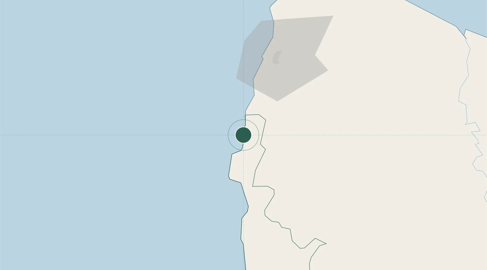
Location
Nearby Logistics Neighbours
Cities
- 1Laoag, Luzon48 km
- 2Pasaleng, Luzon100 km
- 3Pagudpud, Luzon130 km
- 4Abulug131 km
- 5Bauang141 km
Ports
- 1Claveria116 km
- 2San Fernando Harbor130 km
- 3Aparri144 km
- 4Masinloc253 km
- 5Subic Bay332 km
Airports
- 1Laoag International Airport45 km
- 2San Fernando Airport133 km
- 3Tuguegarao Airport140 km
- 4Cagayan North International Airport148 km
- 5Loakan Airport158 km
DatabookThe Record of Consolidated Knowledge
Philippines beyond logistics?