Medium airport · Philippines

Dr. Juan C. Angara AirportRPUR
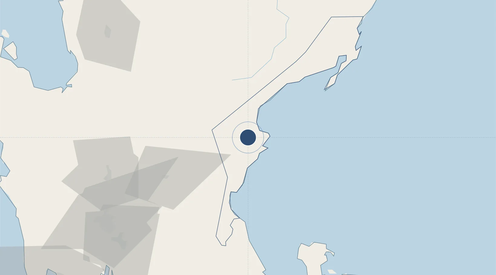
15.7293°, 121.5000°
3,937 ft
Longest runway
1
Runways
108 ft
Elevation

Runway & Layout

Dr. Juan C. Angara Airport runway & taxiway layout
Runway & taxiway layout — OpenStreetMap (ODbL) / OurAirports

Runways · 1

RunwayDimensions SurfaceTrue headingLit
05/23 3,937 × 98ft Asphalt 050°
OurAirports

Airport Specifications

IATA code
BQA
OurAirports
ICAO code
RPUR
OurAirports
Airport class
Medium airport
OurAirports
Scheduled service
No
OurAirports
Runway surface
Asphalt
OurAirports
Served city
Baler
OurAirports

Location

Location of RPUR
Natural Earth 10m (public domain) · Aurora · RPUR · 15.73, 121.50GoogleOSMYandex

Nearby Logistics Neighbours

Airports
  1. 1Clark International Airport / Clark Air Base118 km
  2. 2Loakan Airport118 km
  3. 3Cauayan Airport136 km
  4. 4Ninoy Aquino International Airport145 km
  5. 5Danilo Atienza Air Base151 km
Nearest neighbours — logibook spatial index (haversine) over the source coordinates
Cities
  1. 1Cabanatuan63 km
  2. 2Makati88 km
  3. 3Plaridel/Ozamis104 km
  4. 4Burdeos, Polillo Isl112 km
  5. 5Clark Field (Angeles)118 km
Nearest neighbours — logibook spatial index (haversine) over the source coordinates
Ports
  1. 1Manila140 km
  2. 2San Fernando Harbor160 km
  3. 3Masinloc167 km
  4. 4Subic Bay168 km
  5. 5Mariveles181 km
Nearest neighbours — logibook spatial index (haversine) over the source coordinates
Trade Zones
  1. 1Megacenter IT Building63 km
  2. 2Eastern Pangasinan Agro-Industrial Park79 km
  3. 3Aurora Pacific Economic Zone and Freeport80 km
  4. 4Luisita Industrial Park101 km
  5. 5Tarlac Provincial IT Park II102 km
Nearest neighbours — logibook spatial index (haversine) over the source coordinates
DatabookThe Record of Consolidated Knowledge
Philippines beyond logistics?
Browse databook

All Sources

AirportsOurAirports
Public domain
Portsthe NGA World Port Index
Public domain (US gov)
LocationsUN/LOCODE
UN/LOCODE — free
Trade Zonesthe World Bank SEZ database
CC BY 4.0
Trade ZonesOpen Zone Map
CC BY
InfrastructureOpenStreetMap
ODbL 1.0
← Philippines airports