Transport Functions
Port
Hub Profile
Place type
Populated place
Region
Piura
Time zone
America/Lima
Elevation
16 m
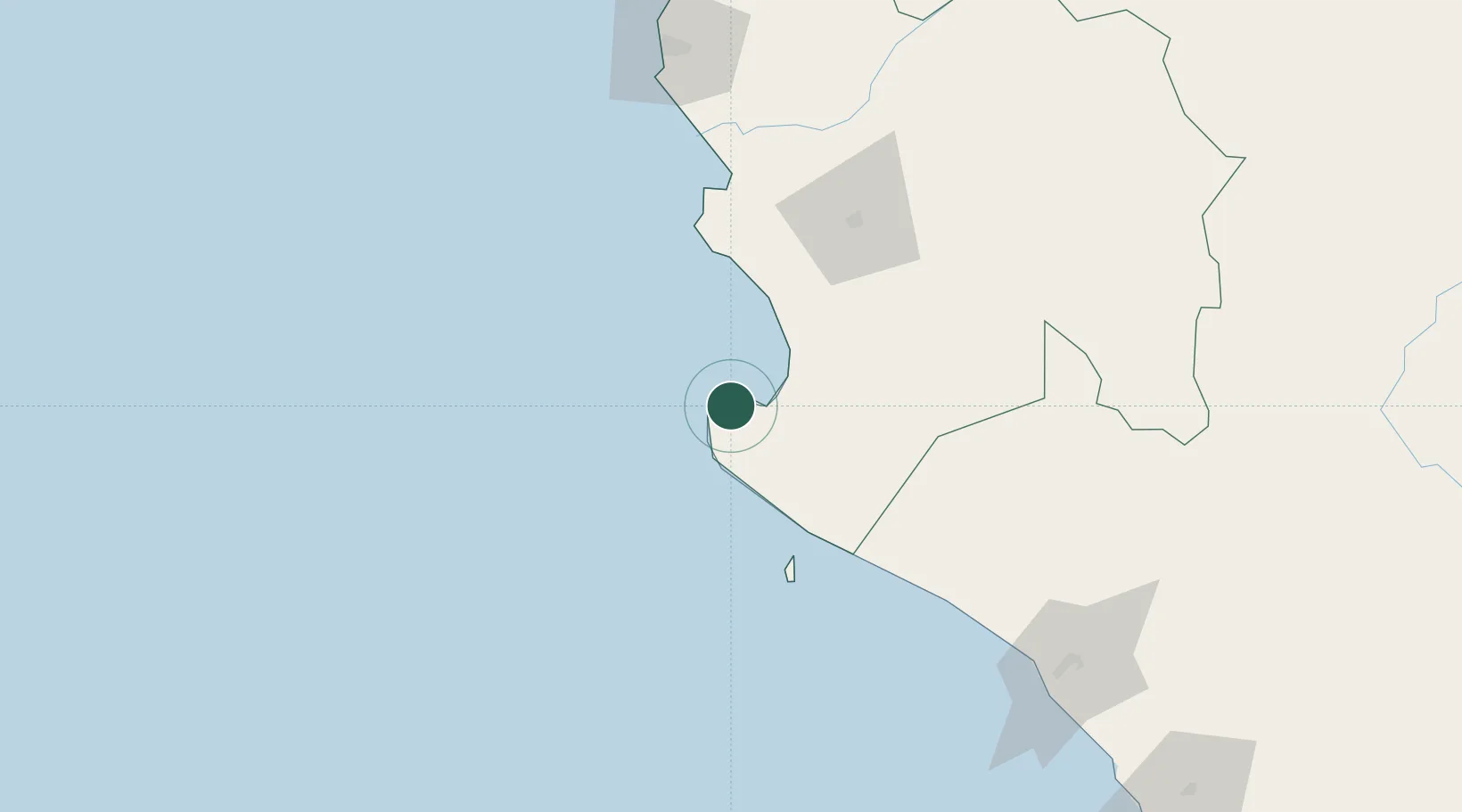
Location
Nearby Logistics Neighbours
Cities
- 1Paita86 km
- 2Olmos148 km
- 3Los Organos185 km
- 4Chepen235 km
- 5San Ignacio242 km
Ports
- 1Paita85 km
- 2Talara143 km
- 3Caleta Lobitos158 km
- 4Pimentel166 km
- 5Puerto Cabo Blanco179 km
Airports
Trade Zones
DatabookThe Record of Consolidated Knowledge
Peru beyond logistics?