Transport Functions
Port
Hub Profile
Place type
District seat
Region
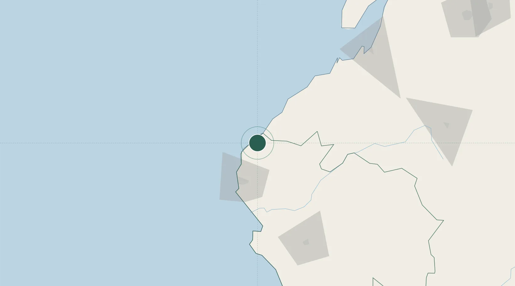
Piura
Time zone
America/Lima
Elevation
7 m
Location
Nearby Logistics Neighbours
Cities
- 1Paita100 km
- 2Puerto Bolívar164 km
- 3Bayovar185 km
- 4Playas191 km
- 5Posorja192 km
Ports
- 1Puerto Cabo Blanco15 km
- 2Caleta Lobitos35 km
- 3Talara48 km
- 4Paita100 km
- 5Puerto Bolivar160 km
Airports
Trade Zones
DatabookThe Record of Consolidated Knowledge
Peru beyond logistics?