Transport Functions
Multimodal
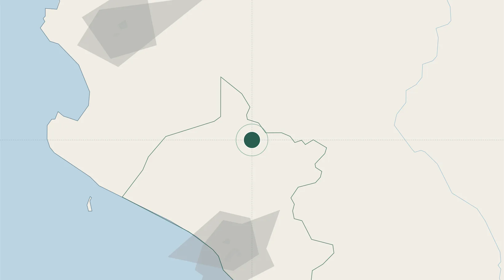
Hub Profile
Place type
District seat
Region
Lambayeque
Population
9,800
Time zone
America/Lima
Elevation
175 m
Location
Nearby Logistics Neighbours
Cities
- 1San Ignacio125 km
- 2Conchán127 km
- 3Chepen141 km
- 4Bayovar148 km
- 5Paita180 km
Ports
- 1Pimentel97 km
- 2Puerto Bayovar147 km
- 3Paita183 km
- 4Talara232 km
- 5Caleta Lobitos242 km
Airports
Trade Zones
DatabookThe Record of Consolidated Knowledge
Peru beyond logistics?