Channel & Berth Profile
Pilotage, Tugs & Services
Pilotage compulsoryYES
Tug assistanceYES
Potable waterYES
MedicalYES
Facilities & Capabilities
Container—
Ro-Ro—
Liquid bulk—
Dry bulk—
Oil terminal—
Break bulk—
Dry dockNO
Repairs—
BunkeringYES
Rail linkYES
Dangerous cargo—
ISPS security—
Harbour Specifications
Harbour size
Very Small
Harbour type
Open Roadstead
Shelter
Poor
Water body
South Pacific Ocean
Tidal range
1.5 m
Overhead limit
No
Pilotage
Yes
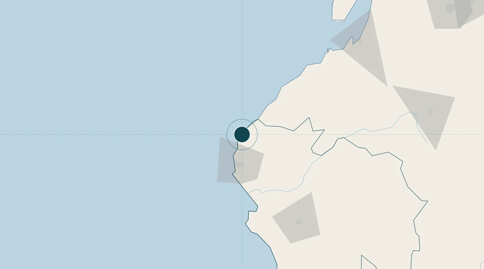
Location
Nearby Logistics Neighbours
Ports
- 1Caleta Lobitos23 km
- 2Talara38 km
- 3Paita94 km
- 4Puerto Bolivar175 km
- 5Puerto Bayovar177 km
Cities
- 1Los Organos15 km
- 2Paita94 km
- 3Bayovar179 km
- 4Puerto Bolívar179 km
- 5Playas203 km
Airports
Trade Zones
DatabookThe Record of Consolidated Knowledge
Peru beyond logistics?