UN/LOCODE hub · Peru
PEPAI
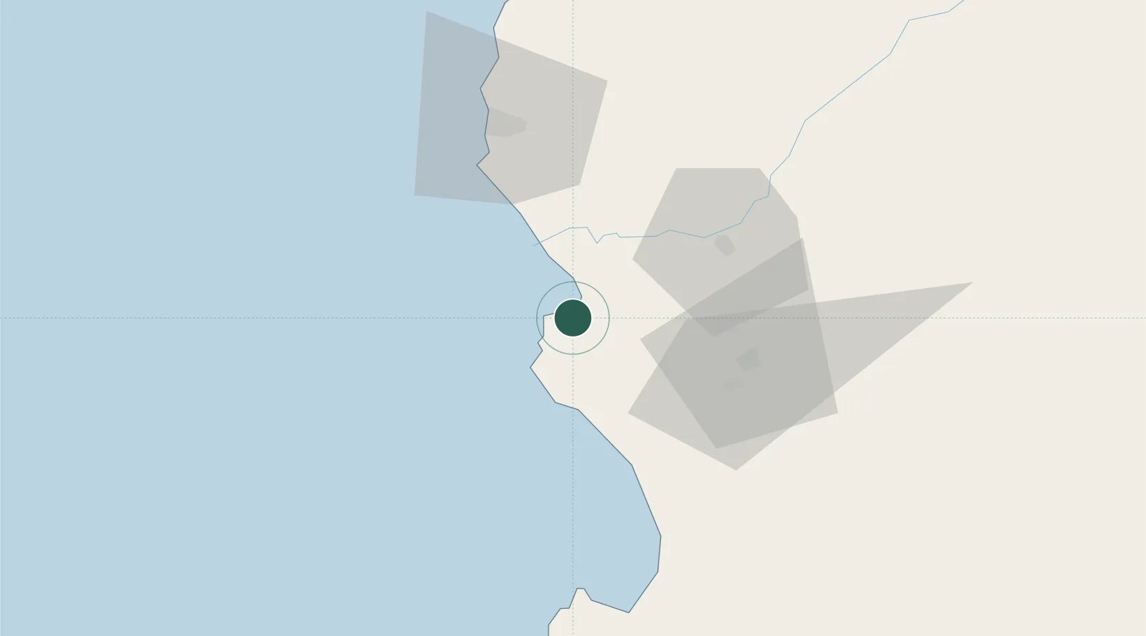
Paita
-5.0785°, -81.0861°
56,151
Population
1
Transport functions
1
Container terminals
Transport Functions
Port
Hub Profile
Place type
District seat
Region
Piura
Population
56,151
Time zone
America/Lima
Elevation
16 m
Logistics facilities
11
Container terminals
1
Location
Nearby Logistics Neighbours
Cities
- 1Bayovar86 km
- 2Los Organos100 km
- 3Olmos180 km
- 4San Ignacio231 km
- 5Puerto Bolívar238 km
Ports
- 1Talara59 km
- 2Caleta Lobitos73 km
- 3Puerto Bayovar84 km
- 4Puerto Cabo Blanco94 km
- 5Pimentel233 km
Airports
Trade Zones
DatabookThe Record of Consolidated Knowledge
Peru beyond logistics?