Transport Functions
Rail
Road
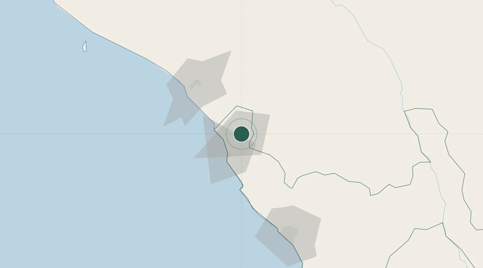
Hub Profile
Place type
Populated place
Region
La Libertad
Population
41,992
Time zone
America/Lima
Elevation
239 m
Location
Nearby Logistics Neighbours
Ports
- 1Pimentel68 km
- 2Salaverry124 km
- 3Puerto De Chimbote227 km
- 4Puerto Bayovar234 km
- 5Paita300 km
Airports
Trade Zones
DatabookThe Record of Consolidated Knowledge
Peru beyond logistics?