Large airport · Peru

Capitán FAP José A. Quiñones González International AirportSPHI
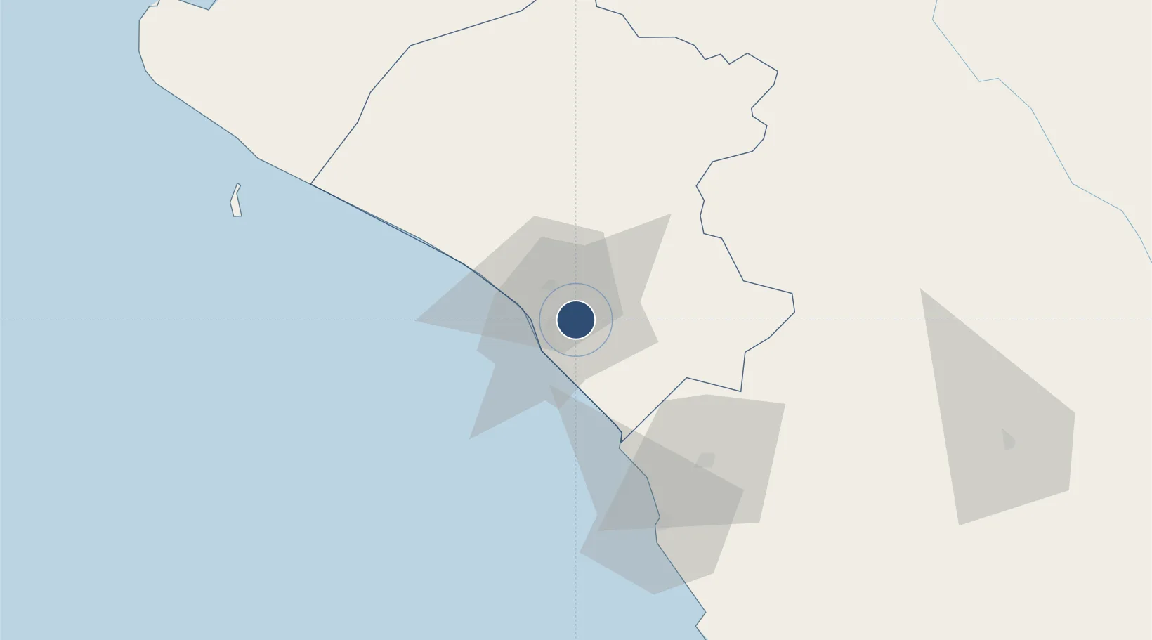
-6.7892°, -79.8283°
8,266 ft
Longest runway
1
Runways
97 ft
Elevation

Runway & Layout

Capitán FAP José A. Quiñones González International Airport runway & taxiway layout
Runway & taxiway layout — OpenStreetMap (ODbL) / OurAirports

Radio Frequencies

TWR
118.3 MHz
CHICLAYO APP/TWR
GND
121.9 MHz
RDO
126.9 MHz
CHICLAYO RDO
OurAirports

Navaids

CLA VOR-DME Chiclayo 114.90 MHz
HIC NDB Chiclayo 305 kHz
OurAirports

Runways · 1

RunwayDimensions SurfaceTrue headingLit
01/19 8,266 × 148ft Asphalt 007°
OurAirports

Airport Specifications

IATA code
CIX
OurAirports
ICAO code
SPHI
OurAirports
Airport class
Large airport
OurAirports
Scheduled service
Yes
OurAirports
Runway surface
Asphalt
OurAirports
Served city
Chiclayo
OurAirports

Location

Location of SPHI
Natural Earth 10m (public domain) · Lambayeque · SPHI · -6.79, -79.83GoogleOSMYandex

Nearby Logistics Neighbours

Cities
  1. 1Chepen63 km
  2. 2Olmos90 km
  3. 3Conchán135 km
  4. 4Bayovar172 km
  5. 5Salaverry185 km
Nearest neighbours — logibook spatial index (haversine) over the source coordinates
Ports
  1. 1Pimentel13 km
  2. 2Puerto Bayovar172 km
  3. 3Salaverry186 km
  4. 4Paita237 km
  5. 5Puerto De Chimbote288 km
Nearest neighbours — logibook spatial index (haversine) over the source coordinates
Trade Zones
  1. 1Zona Especial de Desarrollo Paita (Special Development Zone of Paita)235 km
  2. 2Zona Franca del Oro389 km
  3. 3Posorja ZofraPort SA Free Zone457 km
  4. 4DP World Posorja458 km
  5. 5Contecon Guayaquil Free Zone502 km
Nearest neighbours — logibook spatial index (haversine) over the source coordinates
DatabookThe Record of Consolidated Knowledge
Peru beyond logistics?
Browse databook

All Sources

AirportsOurAirports
Public domain
Portsthe NGA World Port Index
Public domain (US gov)
LocationsUN/LOCODE
UN/LOCODE — free
Trade Zonesthe World Bank SEZ database
CC BY 4.0
Trade ZonesOpen Zone Map
CC BY
InfrastructureOpenStreetMap
ODbL 1.0
← Peru airports