Medium airport · Peru

PAF Captain Guillermo Concha Iberico International AirportSPUR
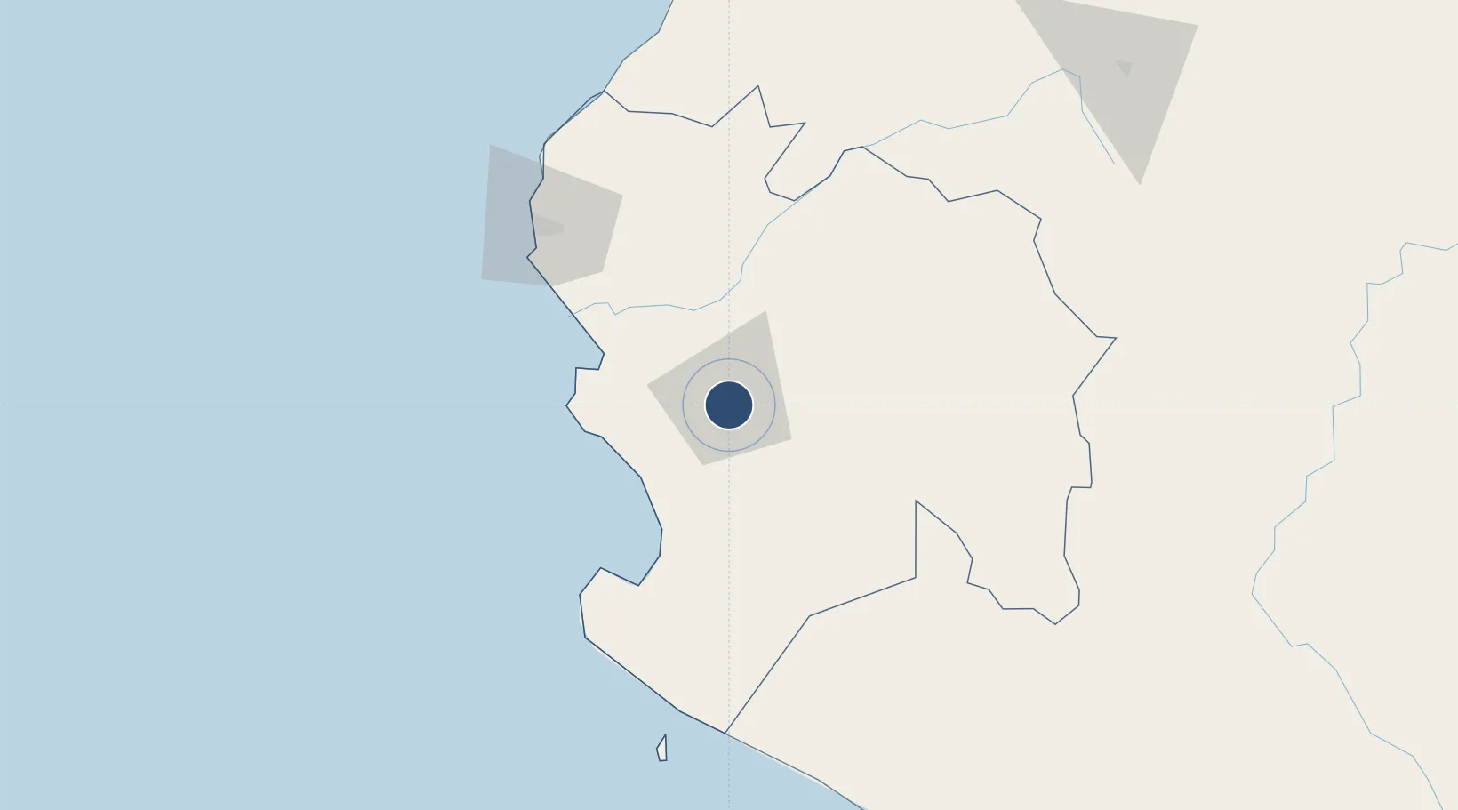
-5.2058°, -80.6164°
8,202 ft
Longest runway
1
Runways
120 ft
Elevation

Runway & Layout

PAF Captain Guillermo Concha Iberico International Airport runway & taxiway layout
Runway & taxiway layout — OpenStreetMap (ODbL) / OurAirports

Radio Frequencies

APP
118.4 MHz
PIURA APP/TWR
RDO
126.9 MHz
PIURA RDO
OurAirports

Navaids

URA VOR-DME Piura 117.70 MHz
URA NDB Piura 345 kHz
OurAirports

Runways · 1

RunwayDimensions SurfaceTrue headingLit
01/19 8,202 × 148ft Asphalt 012°
OurAirports

Airport Specifications

IATA code
PIU
OurAirports
ICAO code
SPUR
OurAirports
Airport class
Medium airport
OurAirports
Scheduled service
Yes
OurAirports
Runway surface
Asphalt
OurAirports
Served city
Piura
OurAirports

Location

Location of SPUR
Natural Earth 10m (public domain) · Piura · SPUR · -5.21, -80.62GoogleOSMYandex

Nearby Logistics Neighbours

Cities
  1. 1Paita54 km
  2. 2Bayovar87 km
  3. 3Los Organos127 km
  4. 4Olmos131 km
  5. 5San Ignacio179 km
Nearest neighbours — logibook spatial index (haversine) over the source coordinates
Ports
  1. 1Paita57 km
  2. 2Puerto Bayovar85 km
  3. 3Talara101 km
  4. 4Caleta Lobitos112 km
  5. 5Puerto Cabo Blanco126 km
Nearest neighbours — logibook spatial index (haversine) over the source coordinates
Trade Zones
  1. 1Zona Especial de Desarrollo Paita (Special Development Zone of Paita)53 km
  2. 2Zona Franca del Oro226 km
  3. 3Posorja ZofraPort SA Free Zone282 km
  4. 4DP World Posorja282 km
  5. 5Contecon Guayaquil Free Zone335 km
Nearest neighbours — logibook spatial index (haversine) over the source coordinates
DatabookThe Record of Consolidated Knowledge
Peru beyond logistics?
Browse databook

All Sources

AirportsOurAirports
Public domain
Portsthe NGA World Port Index
Public domain (US gov)
LocationsUN/LOCODE
UN/LOCODE — free
Trade Zonesthe World Bank SEZ database
CC BY 4.0
Trade ZonesOpen Zone Map
CC BY
InfrastructureOpenStreetMap
ODbL 1.0
← Peru airports